Mont d’Or rises above Vallorbe, recognisable from far off by its line of cliffs, and this demanding round-trip is one of the bigger mountain days in the region, rewarded with a wide Jura summit and three lakes in view.
The walk
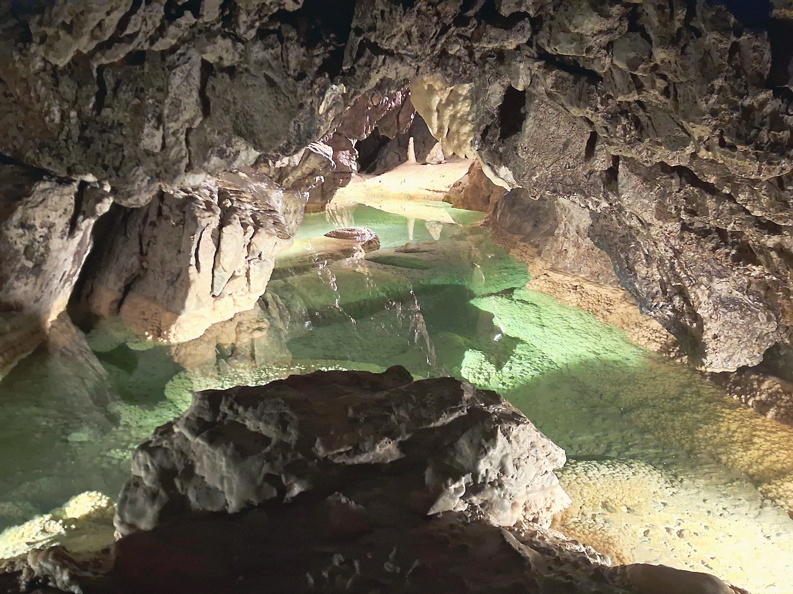
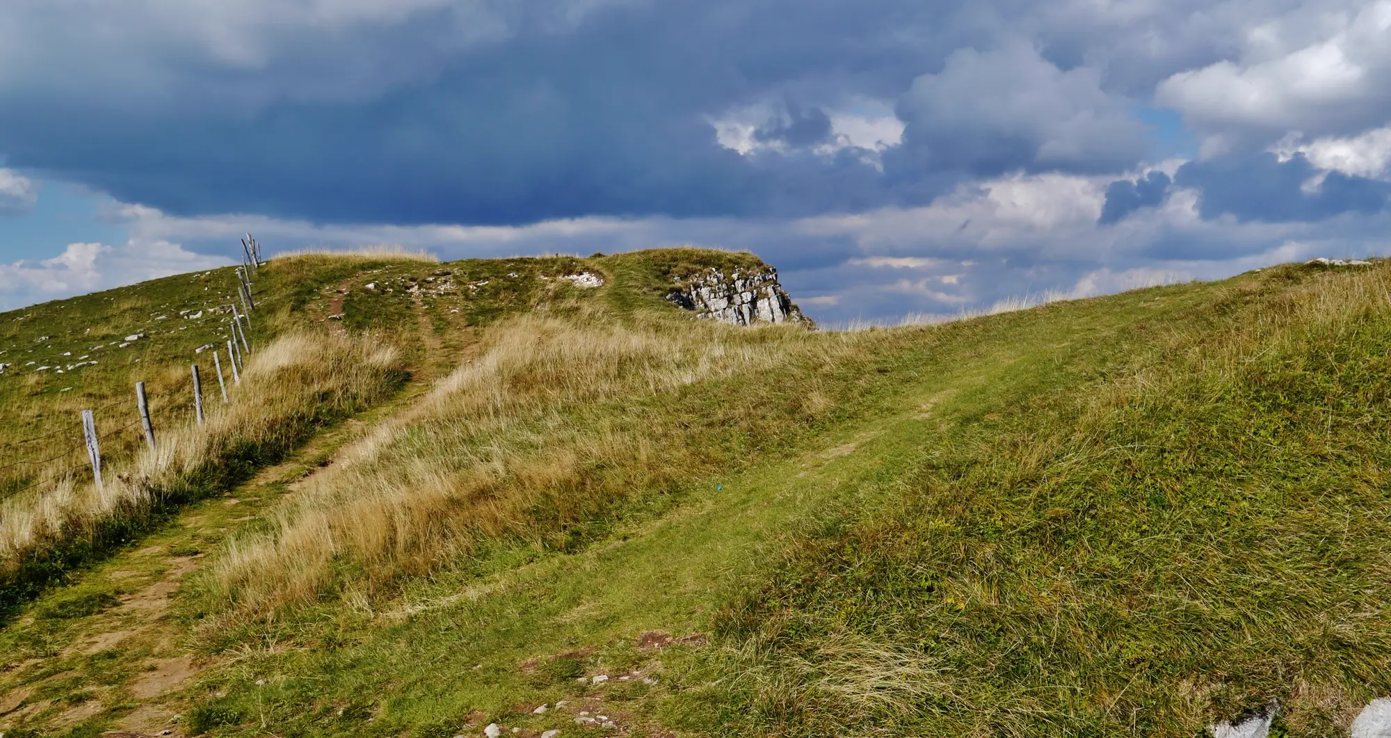
It is around 14.4 km and 4 h 30, a demanding ascent through forest and across pasture to the open summit. From the top, typical Jura grassland gives onto a broad panorama, with Lake Neuchâtel, the Lac de Joux and the French Lac de Saint-Point all in view. The descent brings you back past the Grottes de Vallorbe, so the cave visit can round off the day. This one asks for good fitness, boots and water.
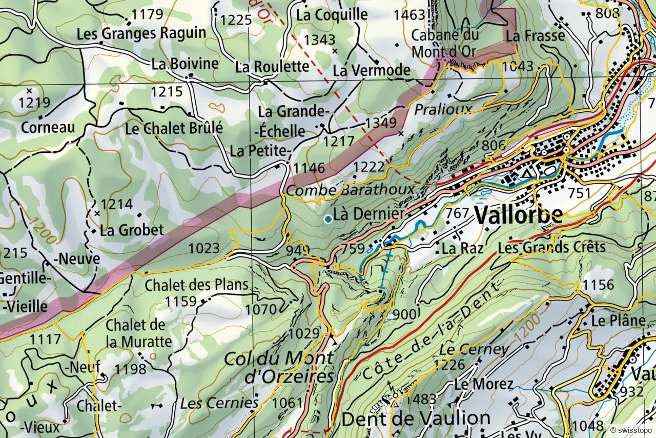
The exact route and the official signposting are maintained by the regional tourism office (linked below); the marked trails are also shown on the swisstopo map above.
Getting there
The start at Vallorbe is reached car-free by train from Yverdon-les-Bains, with the route beginning in the town near the Vita fitness circuit. See getting here for trains to the region.
Good to know
- A full mountain day. Long and steep; start early and watch the weather on the exposed top.
- Combine it. The Grottes de Vallorbe sit on the descent, an easy add-on.
- Source. Distance, route and access are from the regional tourism office: Yverdon-les-Bains Region. Map data © swisstopo.