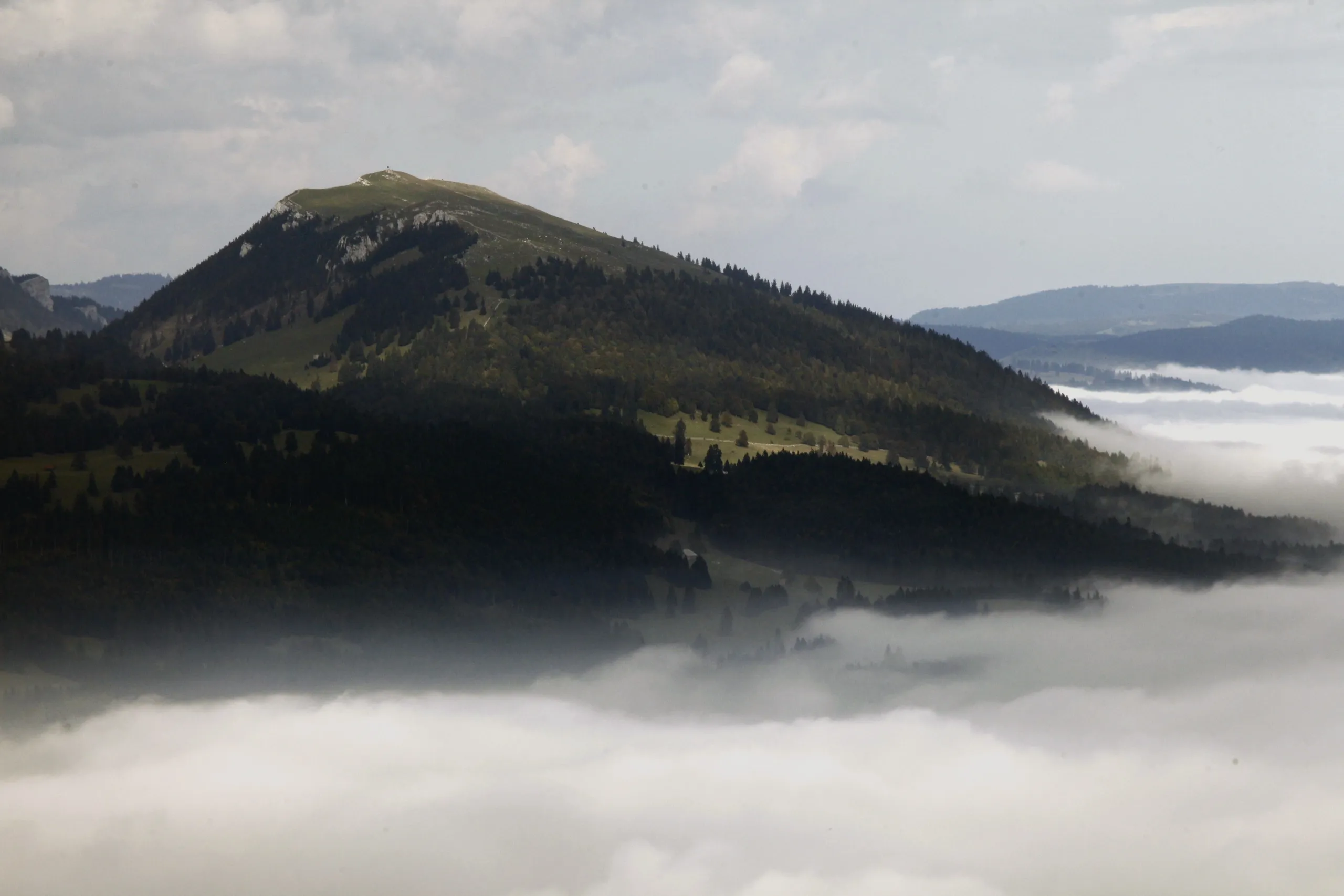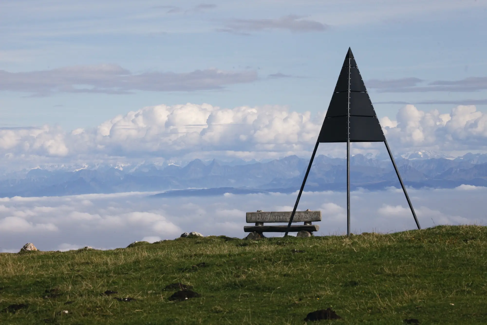
The Dent de Vaulion is the rocky peak that closes off the Vallée de Joux. From its grassy summit ridge the ground simply falls away. On a clear day the panorama is one of the most complete in the Jura: the Lac de Joux and the little Lac Brenet directly below, the lakes of the Plateau (Neuchâtel, Morat, Geneva) laid out across the haze, and behind them the whole Alpine chain from the Säntis to Mont Blanc. The summit’s reputation rests on a single claim: that you can count as many as eight lakes from the top.
The walk
This is a proper mountain day, not a stroll. Expect about 16 km and 5 hours, with a substantial climb onto the ridge, starting and finishing at Vallorbe. The route works its way up through forest and open pasture onto the ridge, saves the best view for the final pull to the 1,482 m summit cross, and comes back down as a loop, so the views keep changing. Walking boots, water and a wind layer are essential. The top is exposed and the weather in the Jura turns quickly.
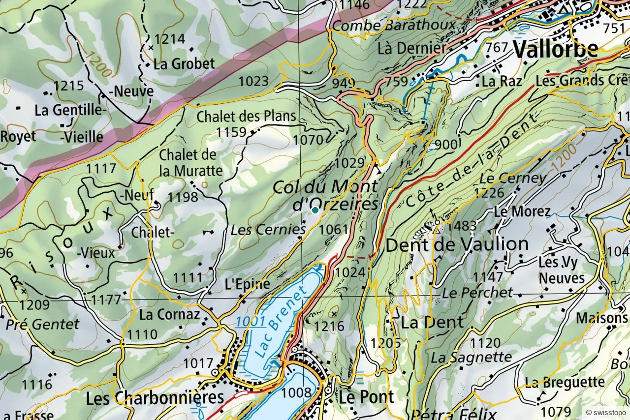
The exact stages and the official signposting are maintained by the regional tourism office (linked below); the marked trails are also shown on the swisstopo map above, which you can open full-screen to plan your own variation.
Getting there
The trailhead at Vallorbe is easy to reach car-free: direct trains run from Yverdon-les-Bains to Vallorbe in about half an hour, and Vallorbe sits on the main line towards France. From the station it is a short walk or local bus to the start of the climb. See getting here for the wider picture of trains to the region.
Good to know
- Season. Roughly May to October for the walk in summer conditions; the small refreshment bar at the top keeps the same warm-season hours. Outside that, expect snow.
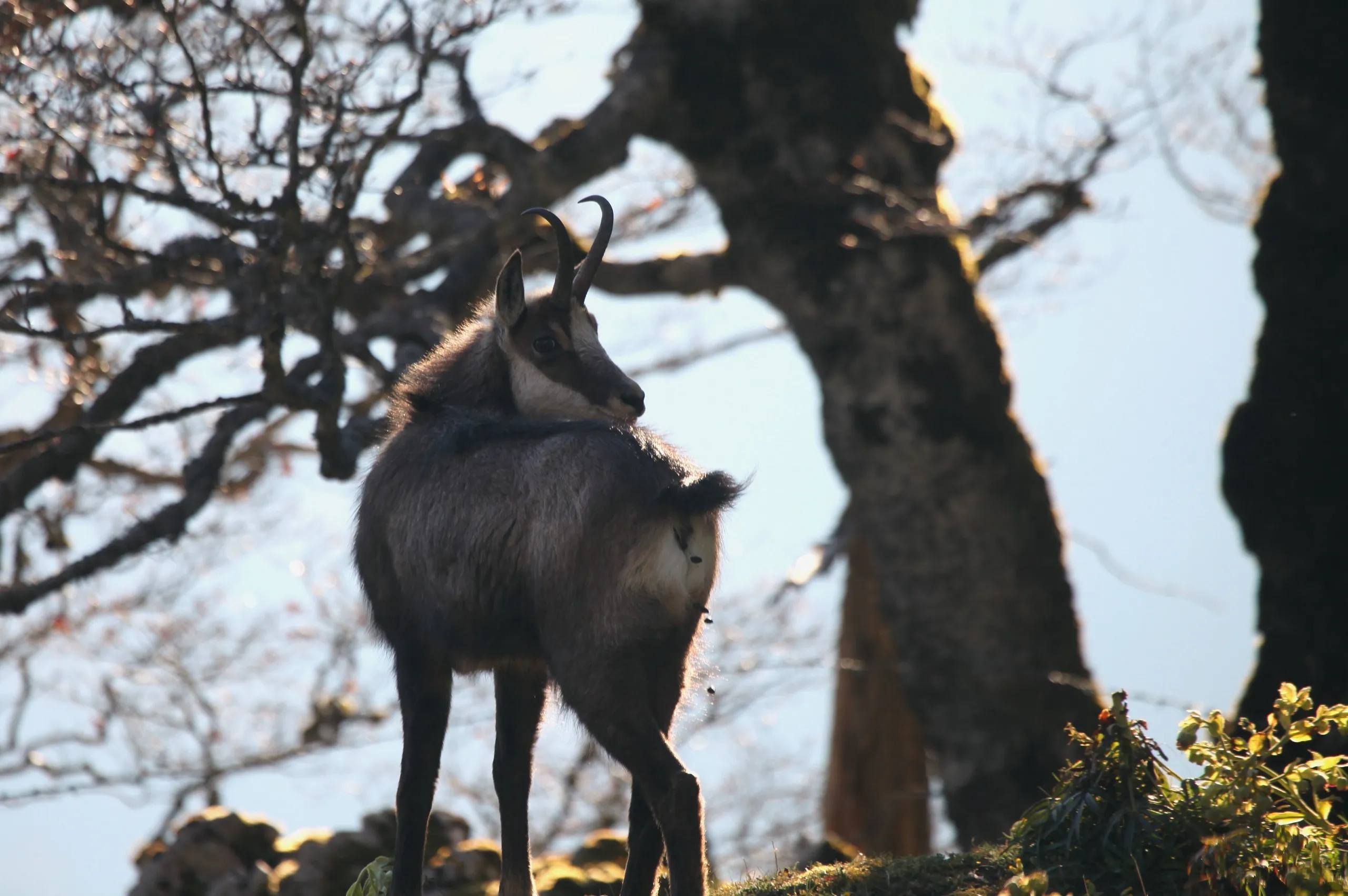
- What you’ll see. The eight-lake view is the headline, but the ridge itself, with its limestone, gentians and grazing cattle, is the quiet pleasure.
- Effort. Rated demanding for the distance and ascent rather than any technical difficulty; there is no exposure that requires scrambling.
- Source. Distances, timing and the official route are from the regional tourism office: Yverdon-les-Bains Region. Map data © swisstopo.