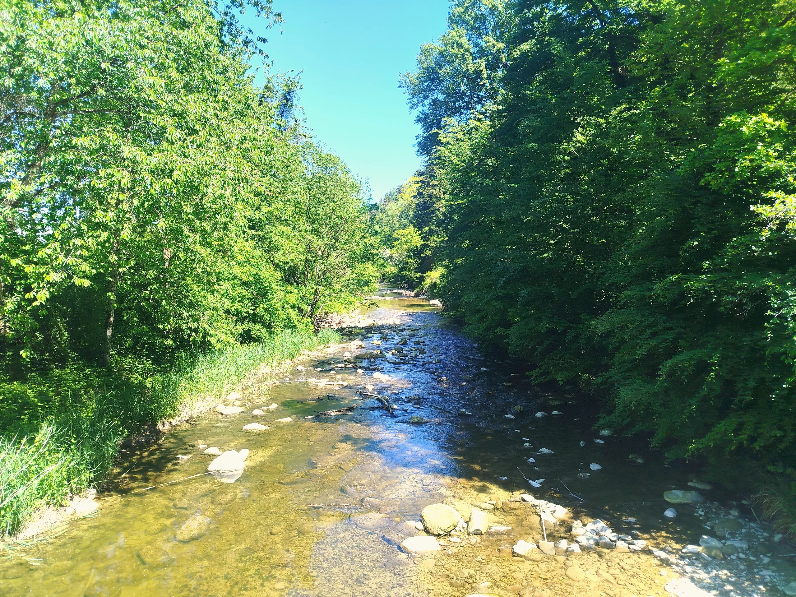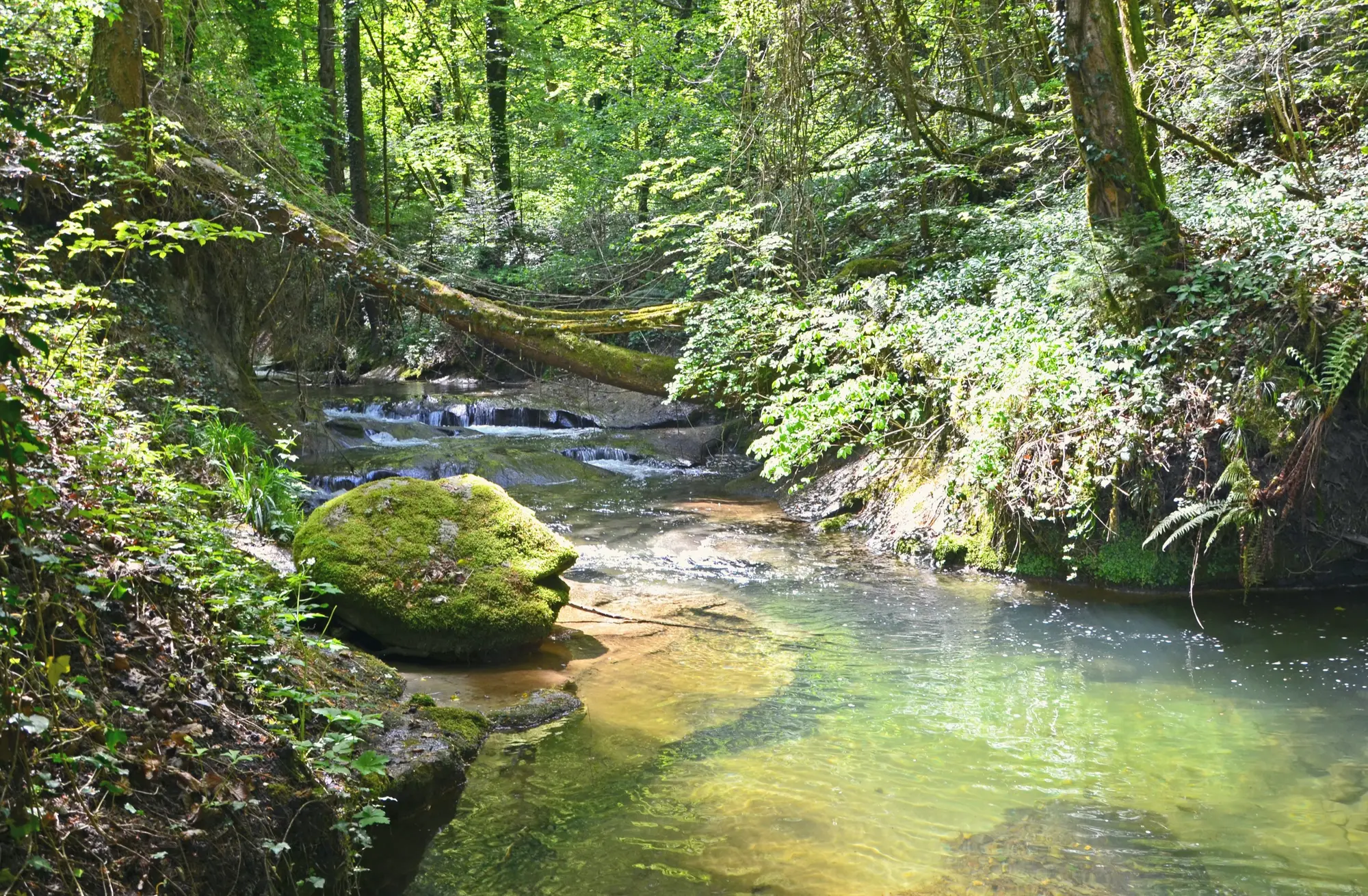
The Vallon des Vaux is a surprise above Yvonand: a true little canyon, cool and green, where the Vaux and Flonzel creeks have cut through the soft rock into shaded gorges and small cliffs.
The walk
It is about 12 km and 3 h 30, moderate, winding up the valley through forest along the creeks, with rocky sections and steep little slopes where the water has done its work. Two pieces of history sit along the way: the St-Martin tower, the lone medieval ruin of the old St-Martin-du-Chêne seigneury, and the church of Chêne-Pâquier, a 1667 round Protestant chapel, one of the very few of its kind in Switzerland.
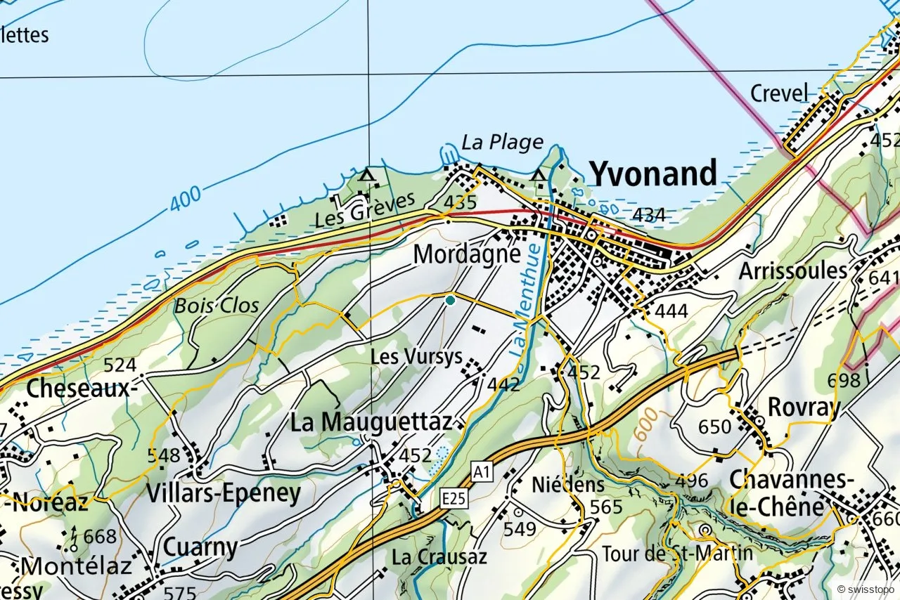
The exact route and the official signposting are maintained by the regional tourism office (linked below); the marked trails are also shown on the swisstopo map above.
Getting there
The start at Yvonand is reached car-free by train from Yverdon-les-Bains on the lakeside line, with the walk beginning from the village. See getting here for trains to the region.
Good to know
- Shaded and cool. A good warm-day walk, but the canyon floor can be muddy after rain.
- History on the route. The St-Martin tower and the round church of Chêne-Pâquier are both worth the short detours.
- Source. Distance, route and access are from the regional tourism office: Yverdon-les-Bains Region. Map data © swisstopo.