The Three Lakes Trail (Chemin des Trois-Lacs, SwitzerlandMobility route 71) runs 61 km along the shores of three lakes, from Yverdon-les-Bains to Murten, in three stages. Its flat first stage is one of the great easy walks of the region: a level line along the south shore of Lake Neuchâtel, from Yverdon through the reeds of the Grande Cariçaie to the pretty walled town of Estavayer-le-Lac.
The walk
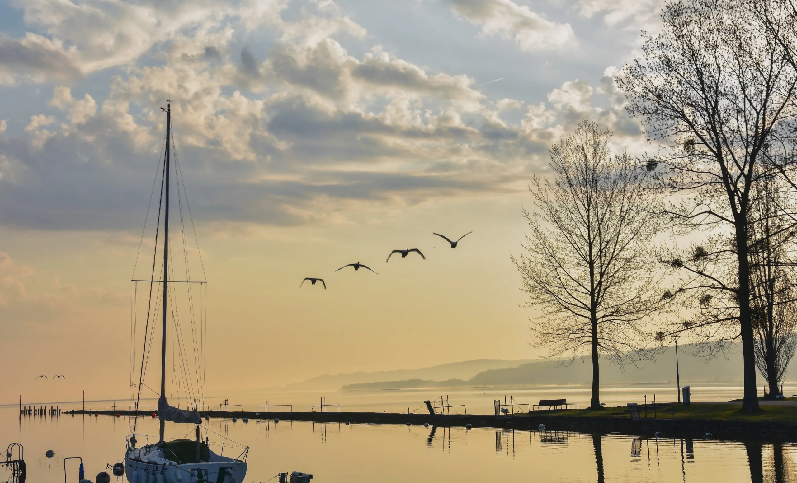
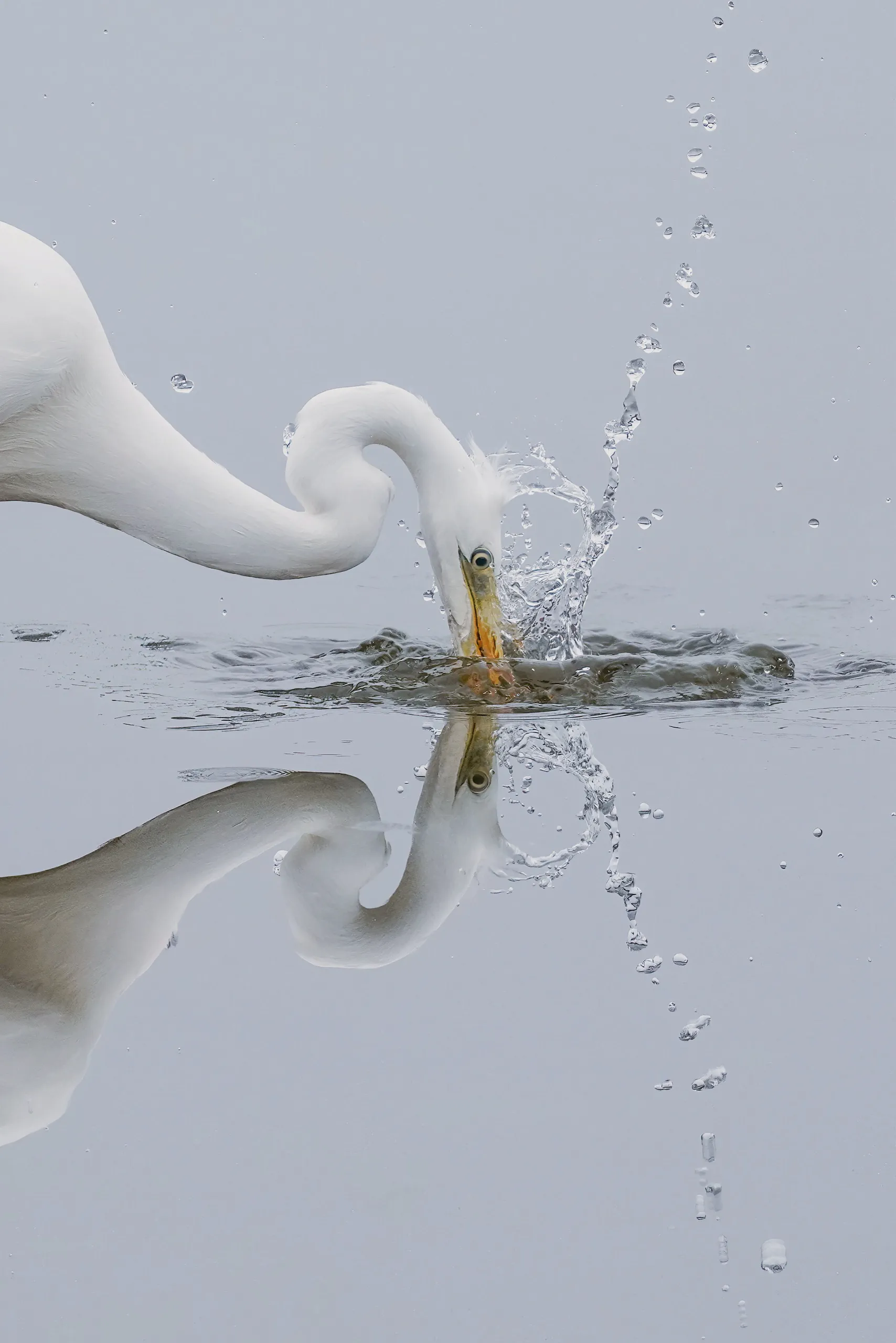
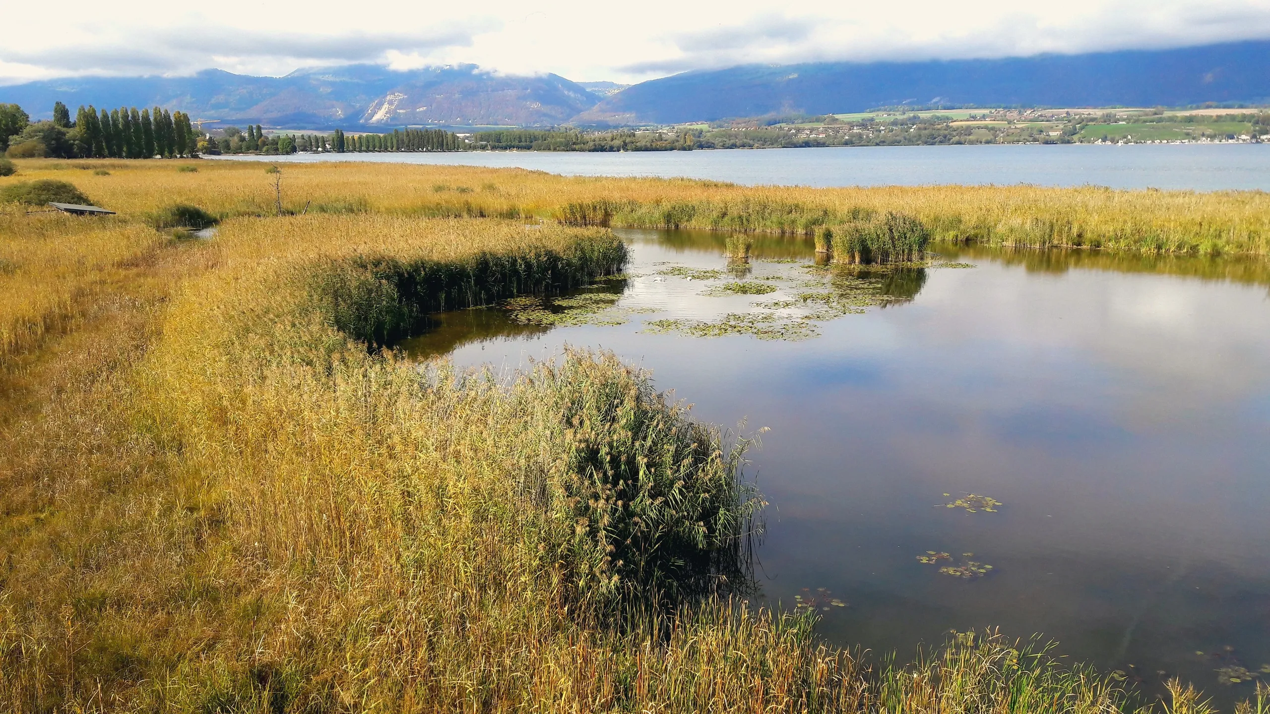
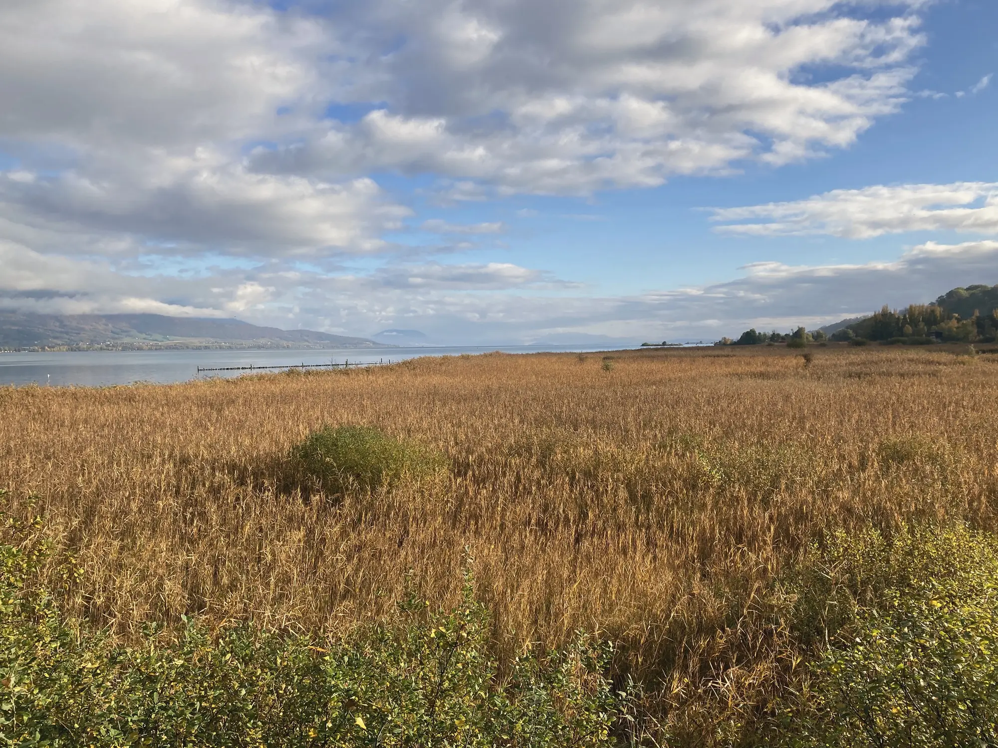
The whole trail is 61 km in three stages — Yverdon-les-Bains to Estavayer-le-Lac, Estavayer to Portalban, and Portalban to Murten — and the best thing about it is the flexibility: because the railway and the lake boats shadow the shore, you can join at any point, walk a single stage in a day, or string several together. The terrain is very easy underfoot and almost dead flat the whole way, so the only real question is how far you want to go. The first stage out of Yverdon runs past the Grande Cariçaie, Switzerland’s largest lake marsh, with its bird hides and wooden walkways, the Champ-Pittet nature centre, the La Sauge reserve, and the beach at Cheyres for a swim along the way.
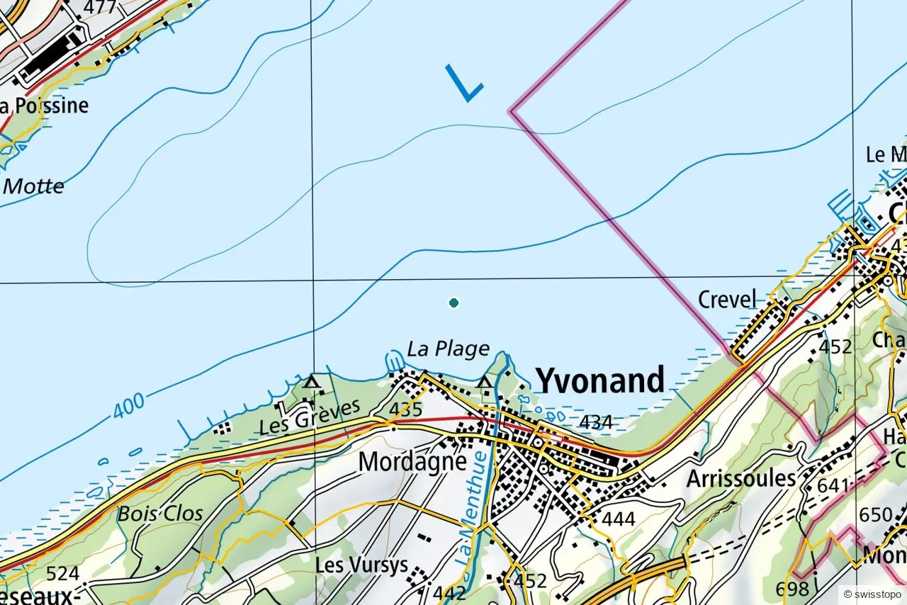
The exact route and the official signposting are maintained by the regional tourism office (linked below); the marked trails are also shown on the swisstopo map above.
Getting there
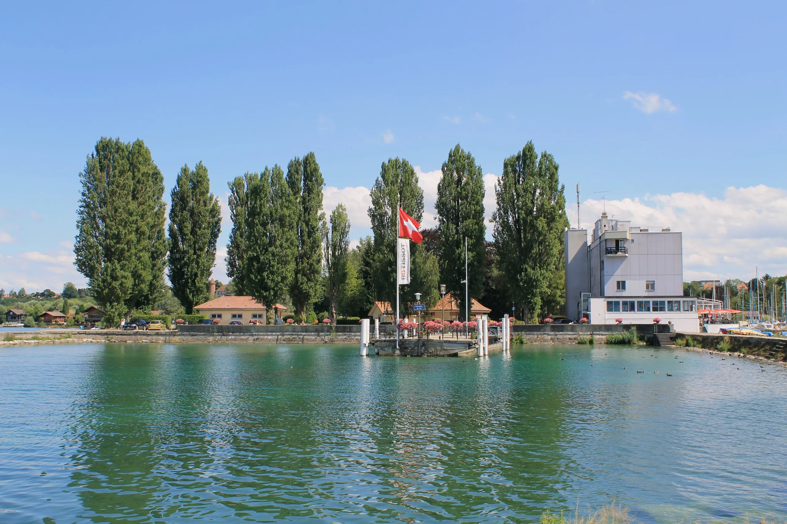
Start right at Yverdon-les-Bains station. Because the railway shadows the shore, you can join or leave the walk at several points and ride the train back; the first stage finishes at Estavayer-le-Lac, which has its own station, or you can return by the lake boat in summer. See getting here for trains to the region.
Good to know
- It is flexible, not hard. Flat and easy underfoot; walk a single stage as a half-day, or link stages for a longer trip — there is no need to do all 61 km at once.
- Combine it. The route is the natural thread between the Grande Cariçaie, Champ-Pittet and Estavayer-le-Lac.
- Source. Distance, route and access are from the regional tourism office: Yverdon-les-Bains Region. Map data © swisstopo.