Le Suchet is one of the shapely Jura summits south of Sainte-Croix, and this 8 km crossing makes a satisfying half-day, with high pasture, a summit cross and two chalet-restaurants to break the walk.
The walk
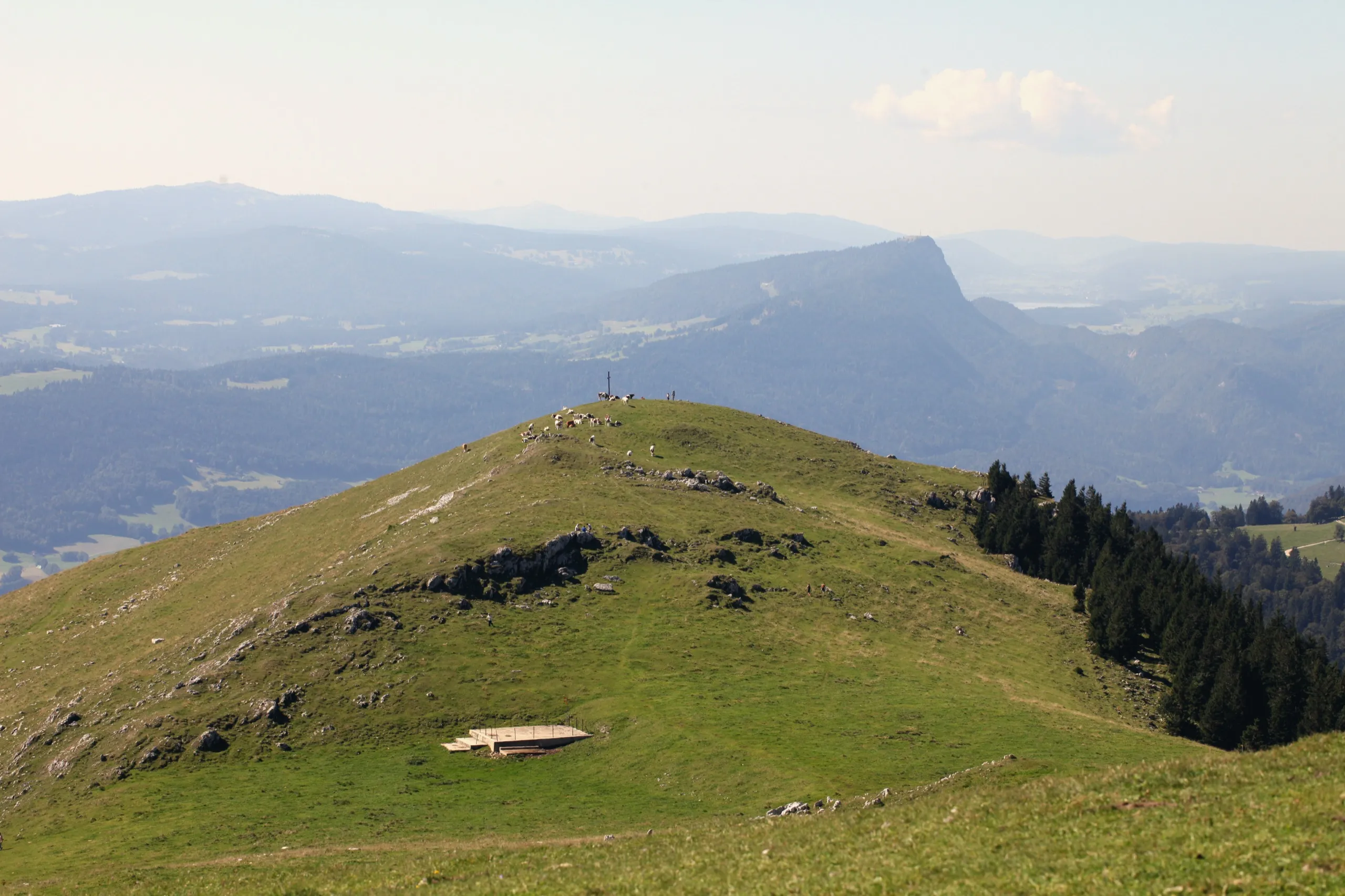
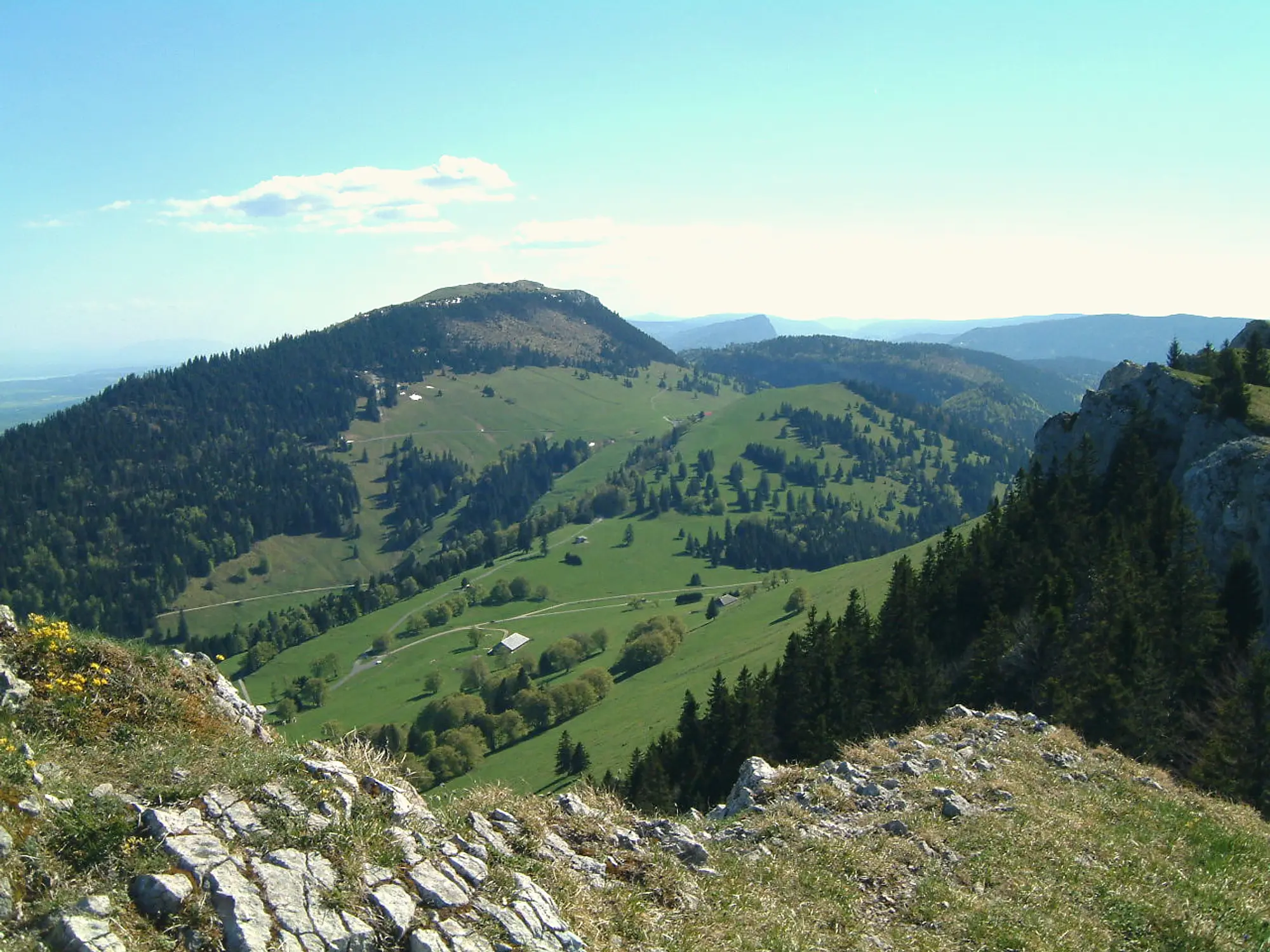
From the Grange-Neuve chalet-restaurant, the route climbs the western flank on a steady slope past the Noirvaux high pasture to a first summit marked by a cross, then on to the 1,588 m peak itself, where the panorama opens from Lake Geneva in the south to Lake Neuchâtel in the north. The walk follows the ridge to the Suchet chalet-restaurant before dropping back on a steeper forest path. It is about 3 hours and a genuine mountain hike, judged by its climb rather than any technical difficulty.
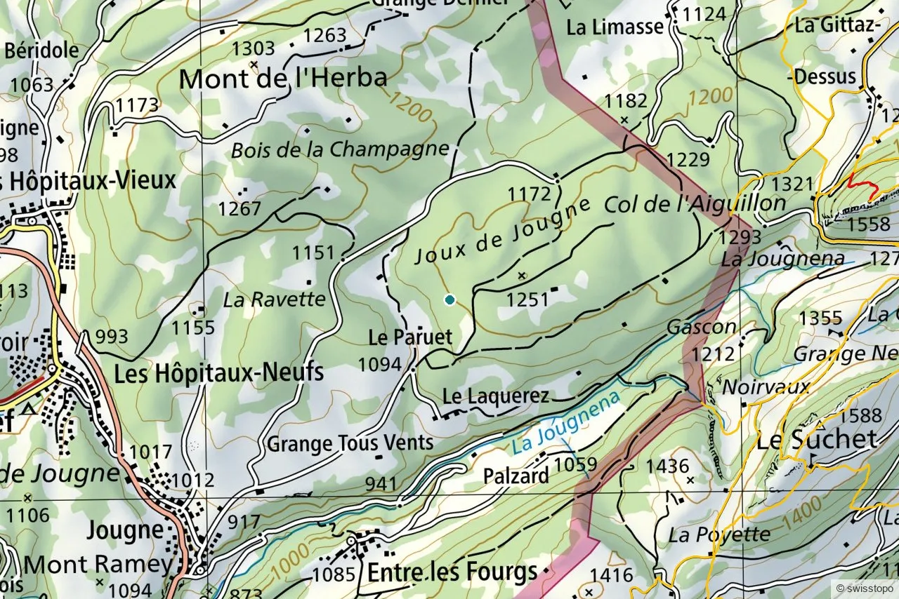
The exact route and the official signposting are maintained by the regional tourism office (linked below); the marked trails are also shown on the swisstopo map above.
Getting there
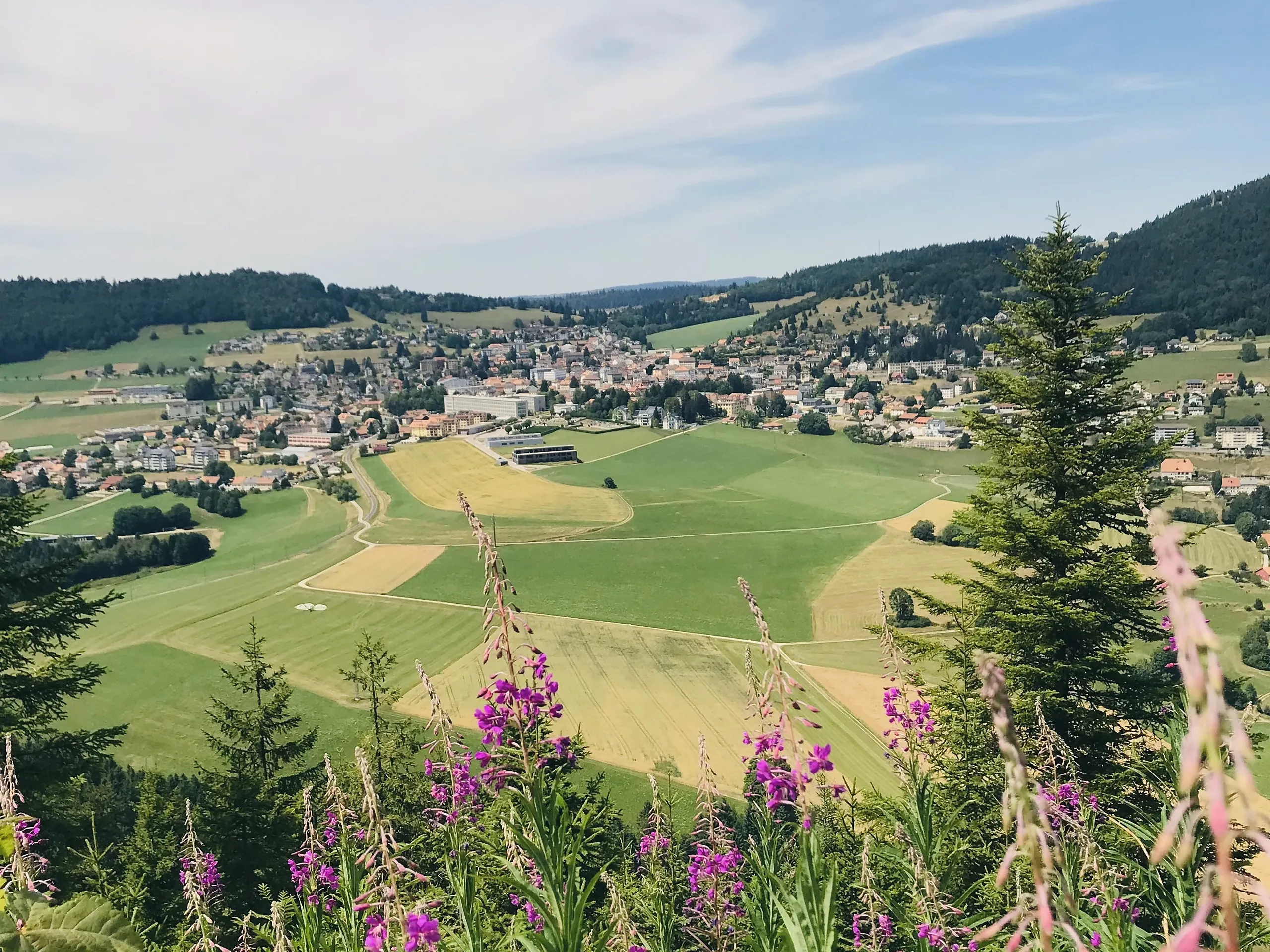
The start is high in the hills above Baulmes, easiest with a car to the Grange-Neuve chalet. On foot, it is a climb from the valley; trains run to the region via Yverdon, see getting here.
Good to know
- Two chalets. Both the Grange-Neuve and the Suchet chalet-restaurants offer a stop in season, which makes this a sociable summit.
- Source. Distance, route and access are from the regional tourism office: Yverdon-les-Bains Region. Map data © swisstopo.