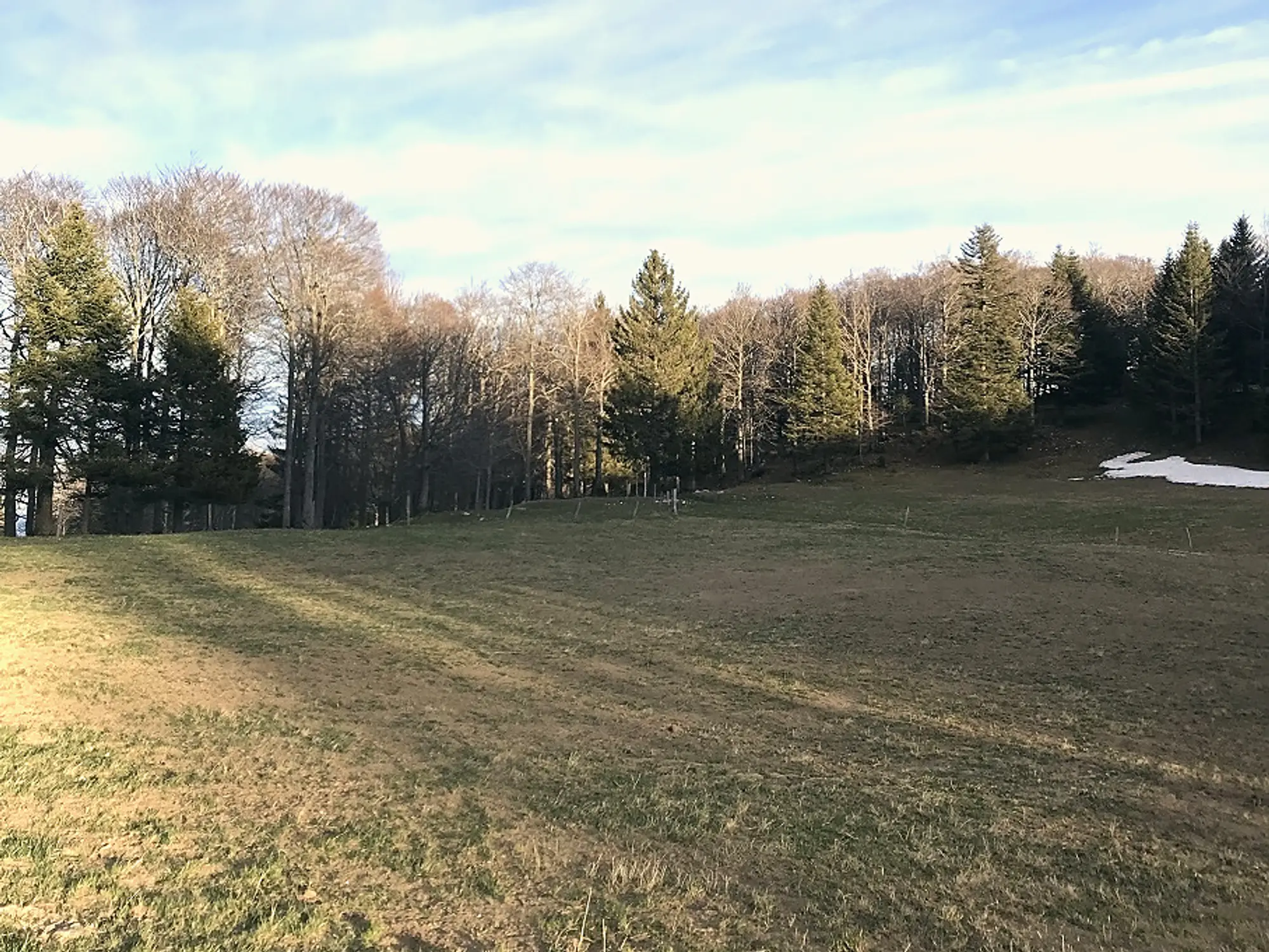
Mont Aubert is the long green ridge that walls the lake’s western shore, and this loop makes a big, airy Jura day, with the Alps across the water and three lakes spread out below.
The walk
The full circuit is around 18.2 km and 5 hours, medium to difficult, threading forests and pastures to the high point at Sur la Roche, where the view takes in the Jura, the Alps and the lakes of Neuchâtel, Biel and Murten. If that is too much, a short 3.5 km loop of about an hour starts higher up from the Gélinottes restaurant, which makes the same country accessible to families.
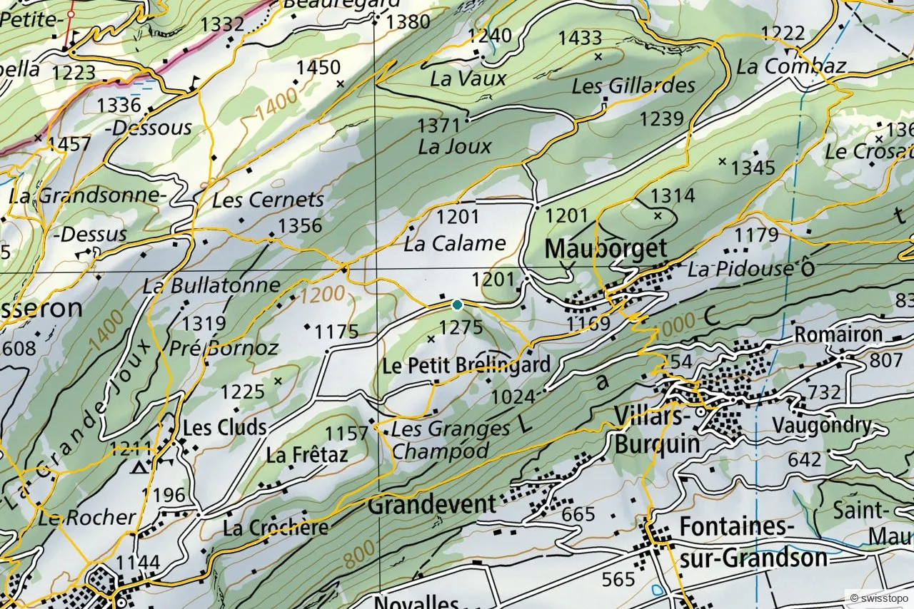
The exact route and the official signposting are maintained by the regional tourism office (linked below); the marked trails are also shown on the swisstopo map above.
Getting there
The start at the Restaurant des Rochat is high on the ridge, easiest by car. On foot, it is a climb from the lakeside villages (Concise, Onnens) below; trains reach the region via Yverdon, see getting here.
Good to know
- Two lengths. The full loop is a serious day; the 3.5 km option is the family-friendly way to the views.
- Source. Distance, route and access are from the regional tourism office: Yverdon-les-Bains Region. Map data © swisstopo.