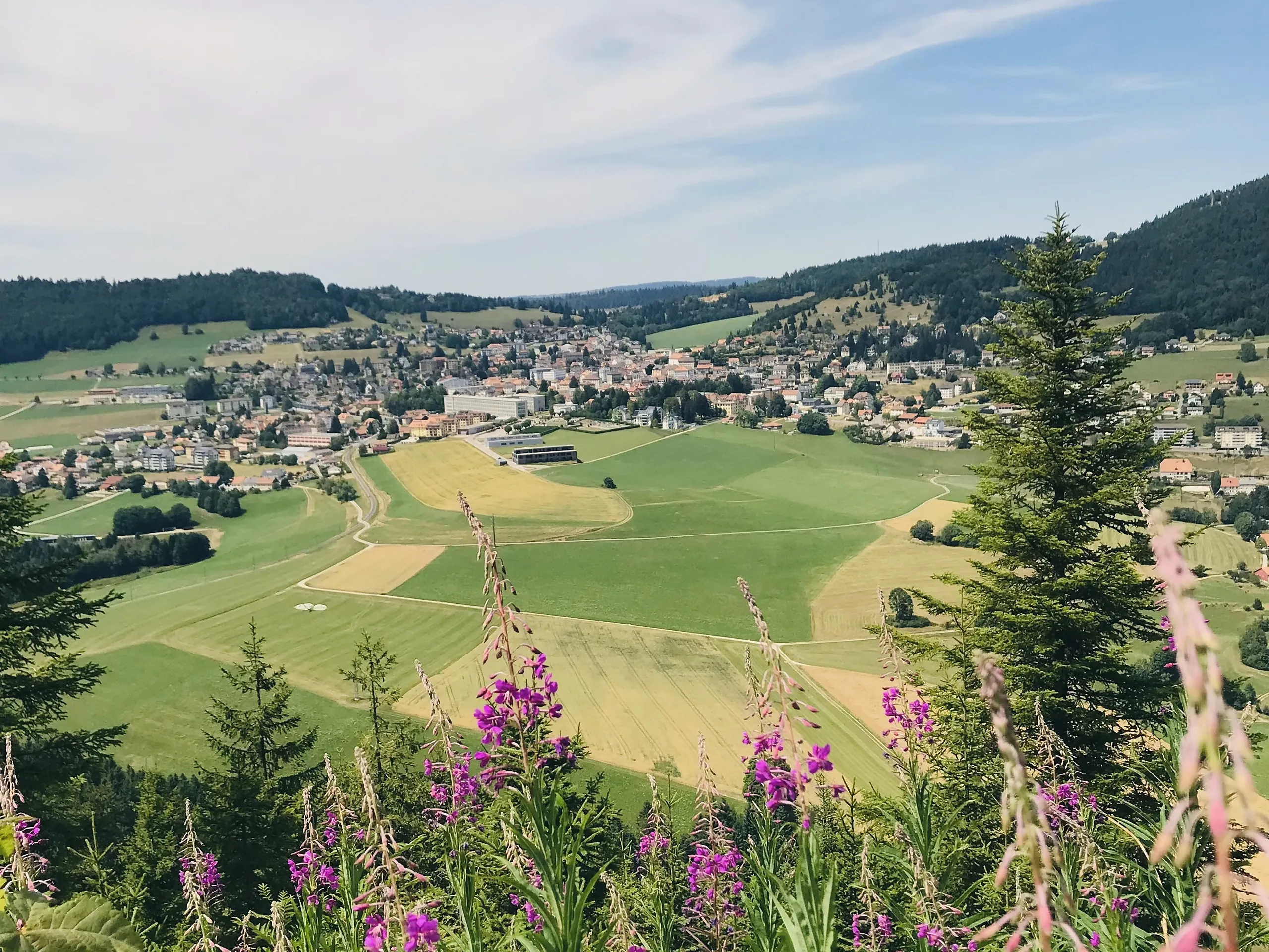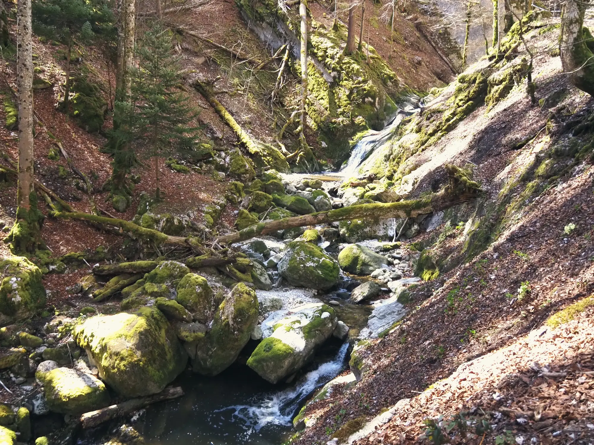

The Gorges de Covatannaz are a deep cut in the cliffs where the Arnon river drops off the Jura, and this short walk from Sainte-Croix down through the gorge is one of the most dramatic easy outings in the region.
The walk
It is only about 5.5 km and an hour and a half, mostly downhill. The marked trail leaves Sainte-Croix alongside the railway, crosses open pastures and drops into forest at the lip of the gorge, then follows the Arnon past rapids and cascades to the Fontanet clearing, a good place to picnic, with the cliffs the river has carved towering overhead. A 2 km extension to Baulmes is possible from a road junction near Fontanet.
The exact route and the official signposting are maintained by the regional tourism office (linked below); the marked trails are also shown on the swisstopo map above.
Getting there
Take the train up to Sainte-Croix from Yverdon-les-Bains, walk down the gorge, and ride the panoramic Travys train back from the foot via Baulmes or Yverdon, a neat one-way walk with no car. See getting here for trains to the region.
Good to know
- Closure. The gorge path is closed 20 April to 26 June 2026 for works; check before you go.
- One-way and downhill. The panoramic train back makes this an easy, mostly descending walk.
- Source. Distance, route and access are from the regional tourism office: Yverdon-les-Bains Region. Map data © swisstopo.