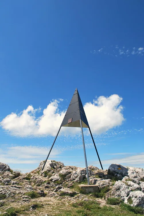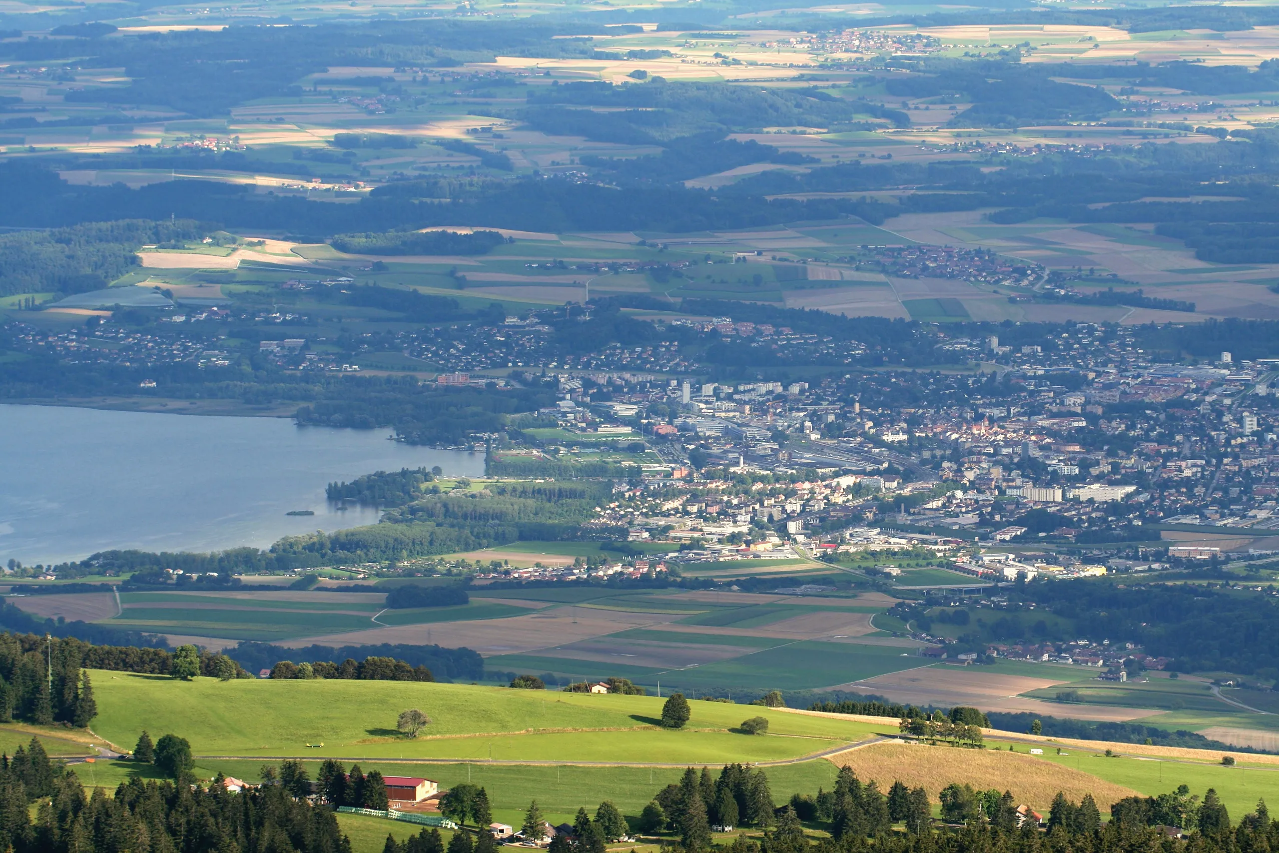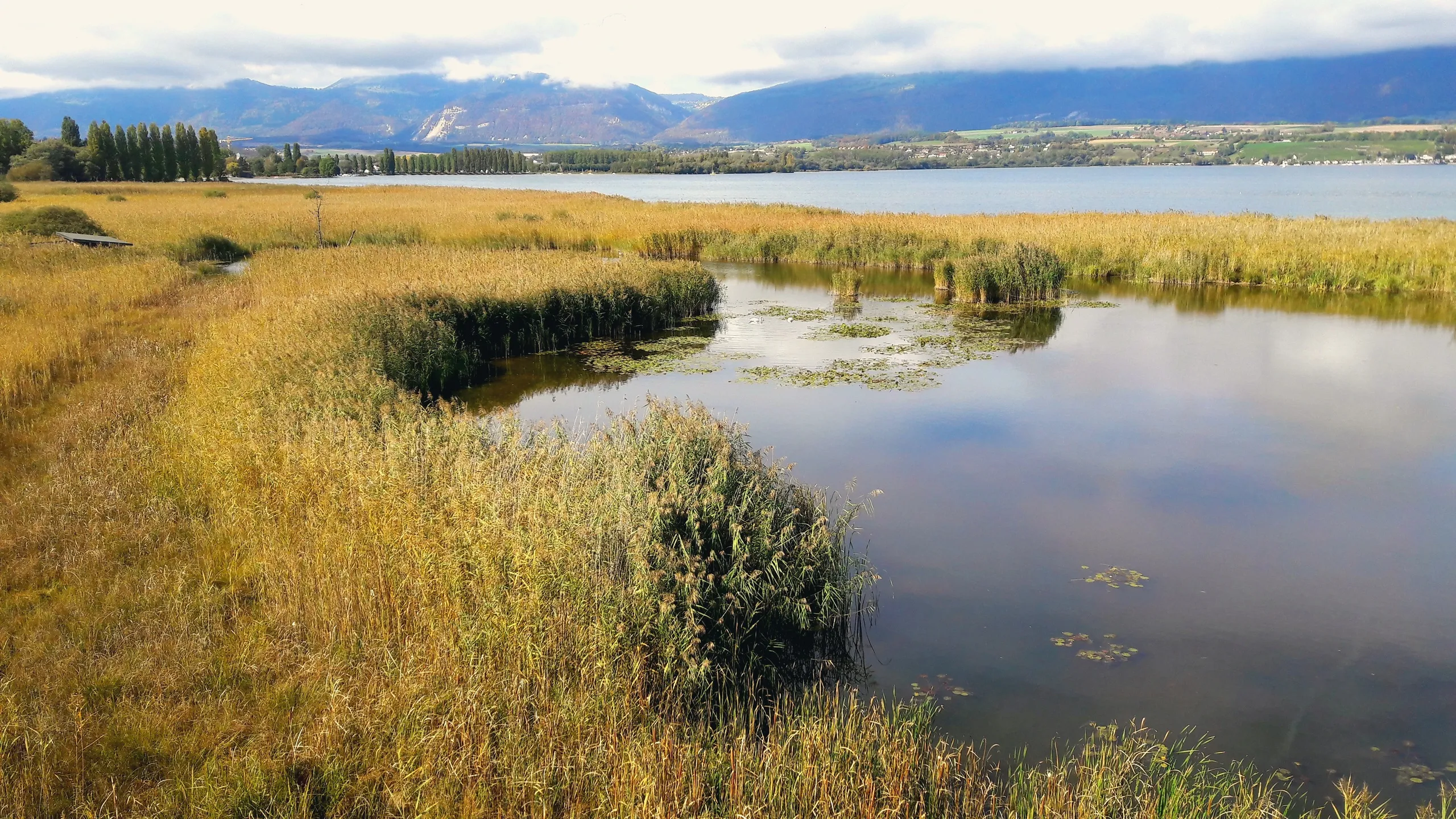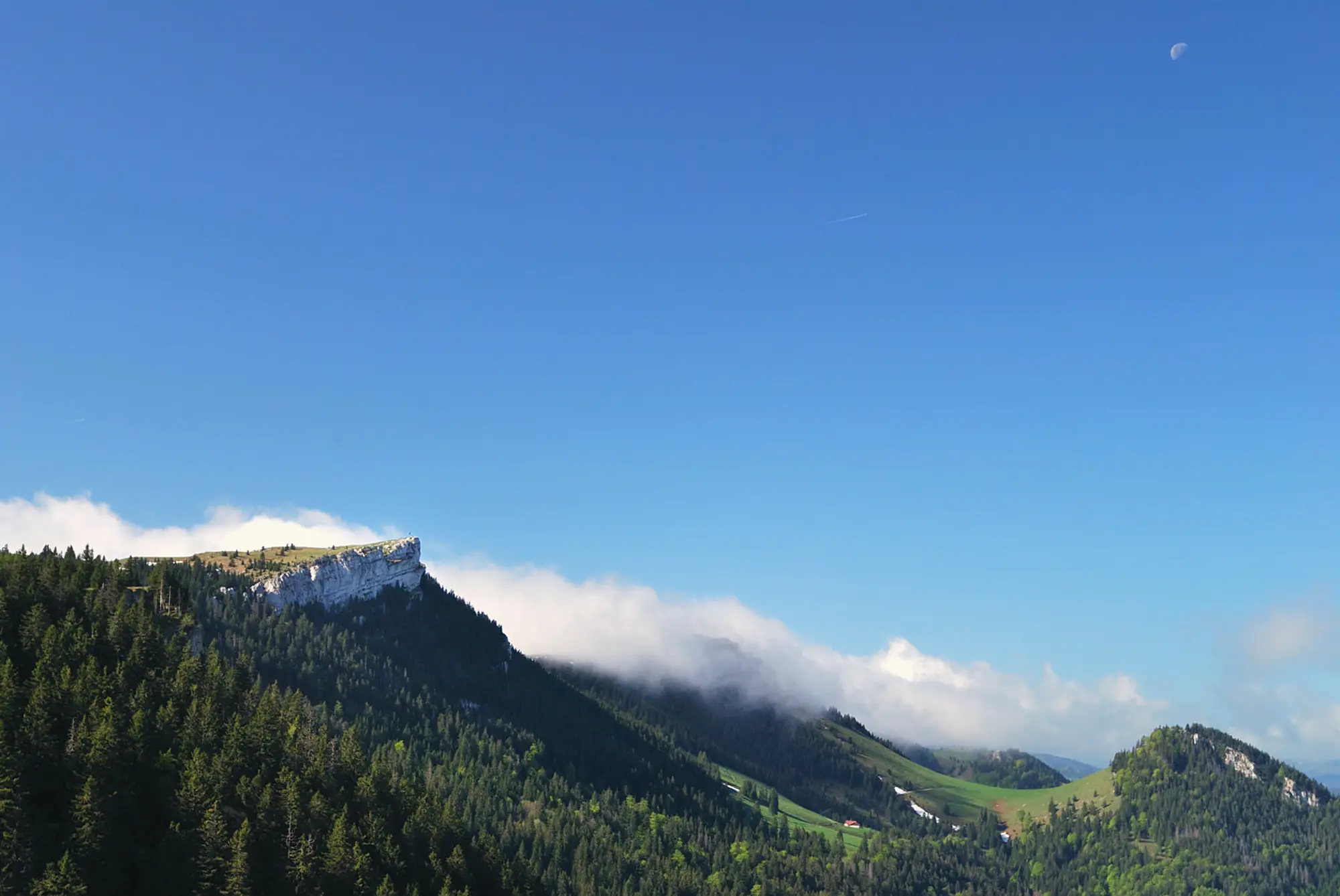
Le Chasseron is the high point of the Nord vaudois, a grassy Jura summit that rises to 1,608 m above Sainte-Croix. It is famous for the width of its view: the whole Alpine chain to the south, Lake Neuchâtel below to the north, and on a clear day Lake Geneva away to the west. A chalet-restaurant sits just under the top, which makes the summit a sociable place to stop.
The walk
This is a mountain walk, about 12 km and 4 hours as a loop from Sainte-Croix. The route climbs steadily through pasture and open ridge to the summit, where the ground falls away toward the lake, then returns by a different line so the views keep changing. It is judged by its length and ascent rather than any technical difficulty. Bring boots, water and a wind layer, as the ridge is exposed and Jura weather turns quickly.
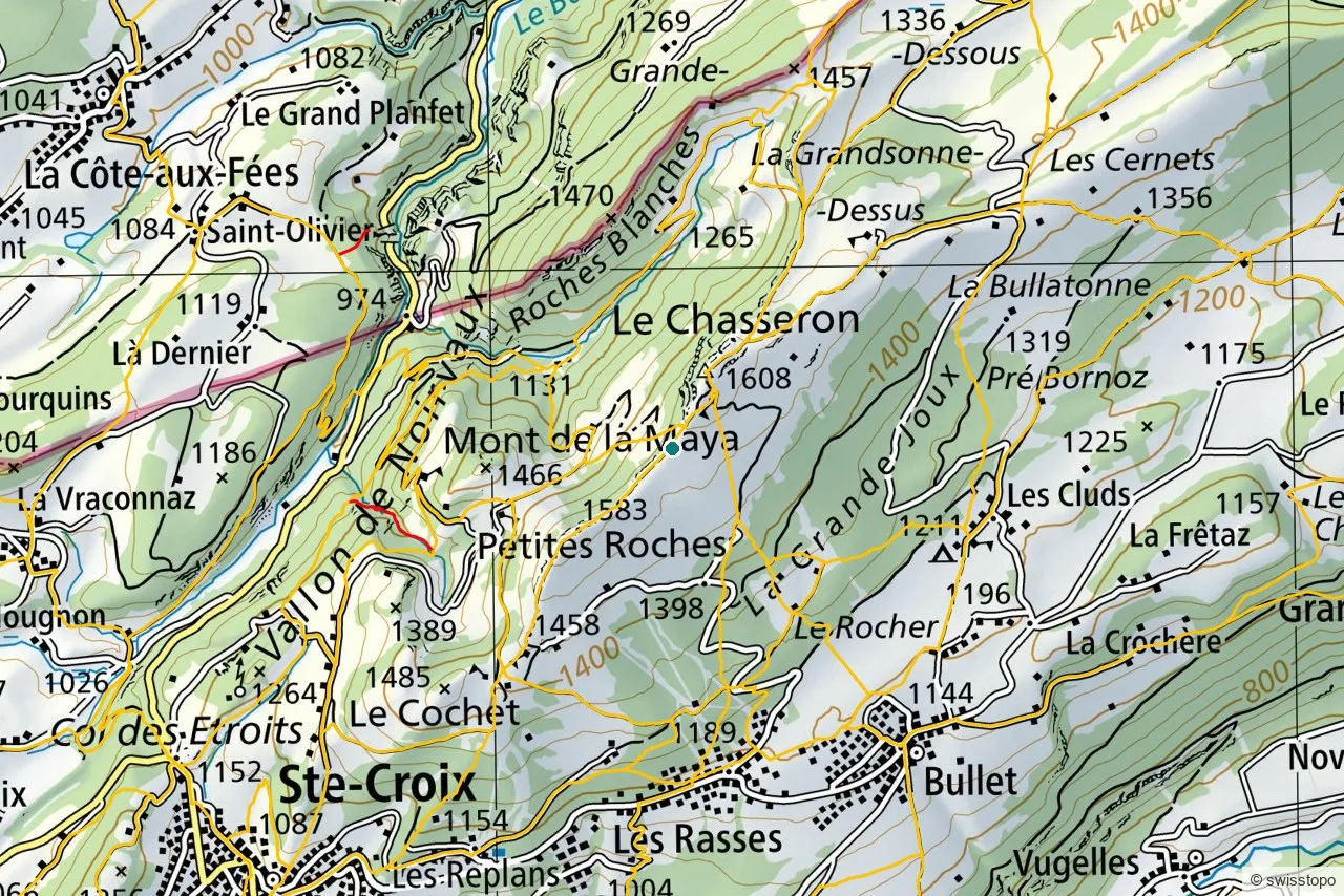
The exact stages and the official signposting are maintained by the regional tourism office (linked below); the marked trails are also shown on the swisstopo map above, which you can open full-screen to plan your own variation.
Getting there
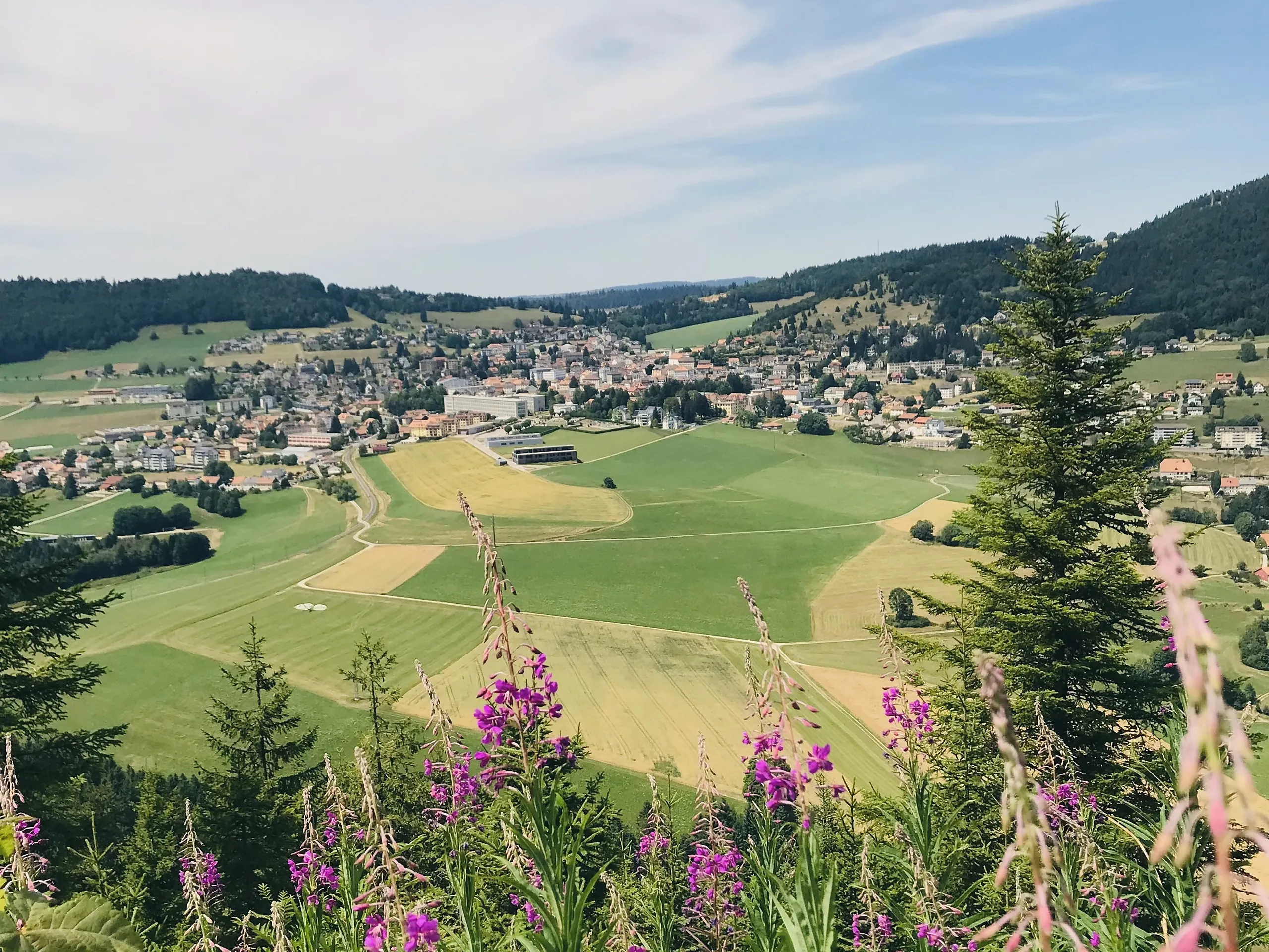
The start at Sainte-Croix is easy to reach car-free: trains run up from Yverdon-les-Bains on the scenic mountain line, and the trail begins from the town. See getting here for the wider picture of trains to the region.
Good to know
- Season. Roughly May to October for the walk in summer conditions; outside that, expect snow on the upper slopes.
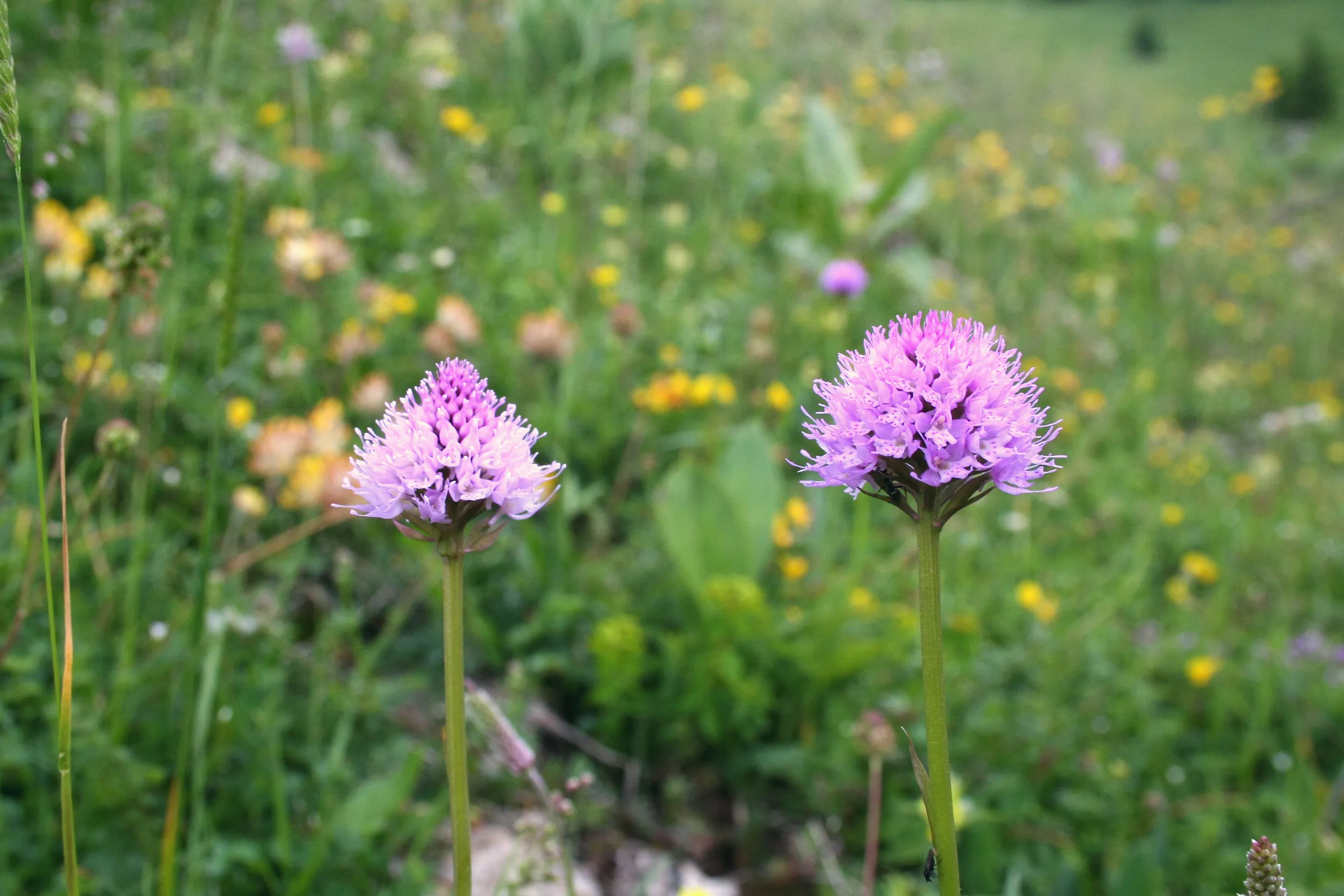
- What you’ll see. The lake-and-Alps panorama is the headline, but the ridge itself, with its limestone, gentians and grazing cattle, is the quiet pleasure.
- Source. Distances, timing and the official route are from the regional tourism office: Yverdon-les-Bains Region. Map data © swisstopo.