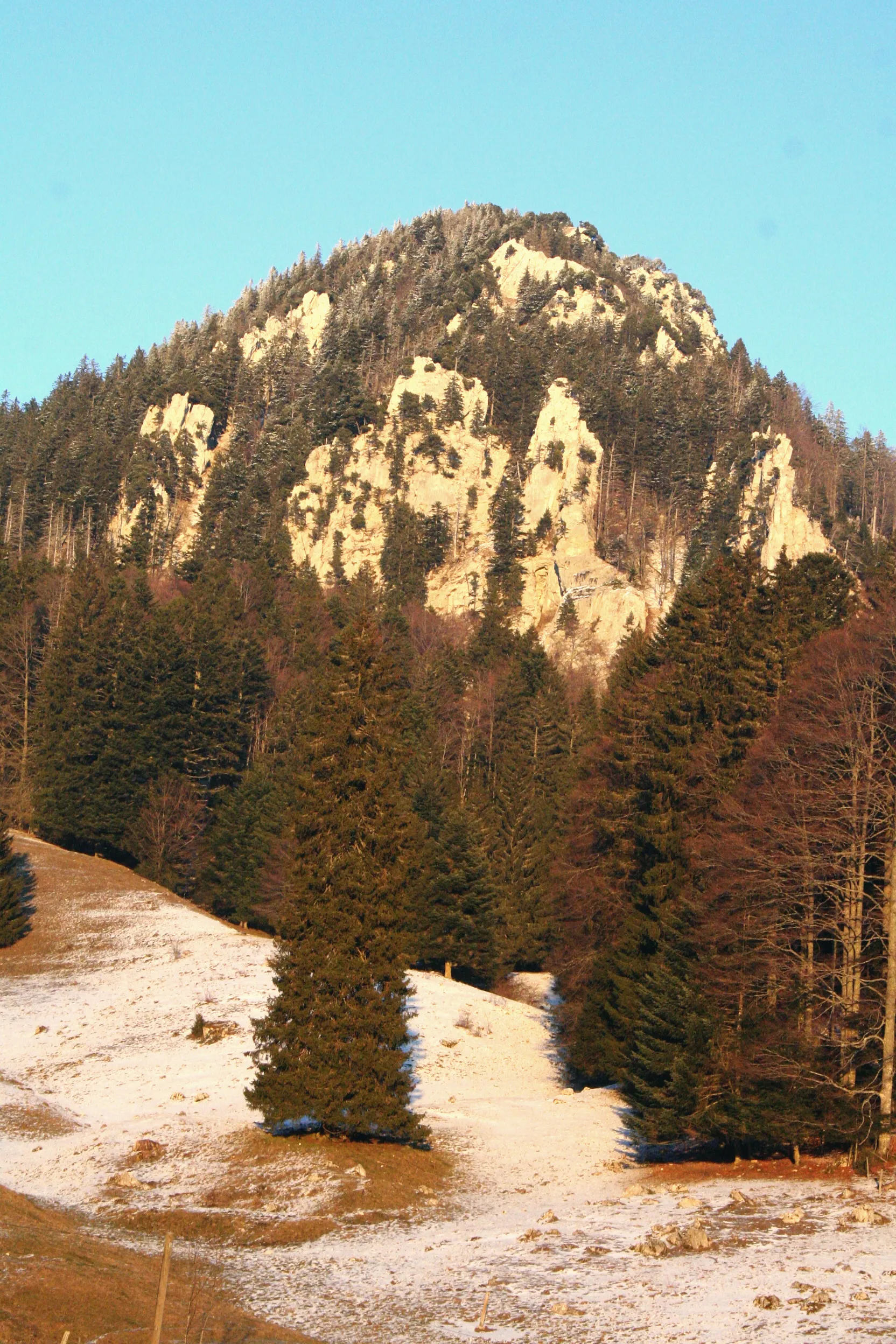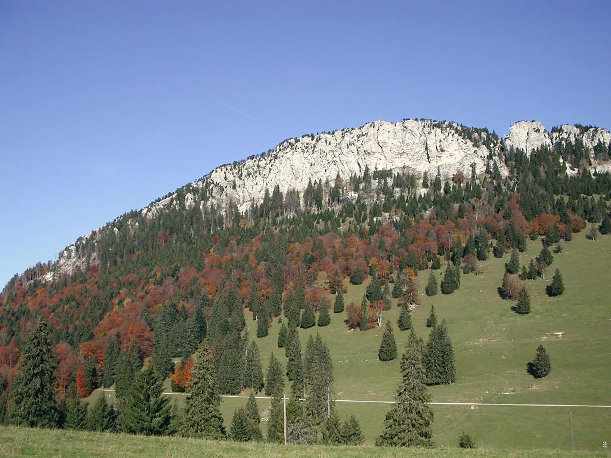
The Aiguilles de Baulmes are a line of limestone needles on the cliff edge above the village of Baulmes, well known to climbers, and this sporty loop from Sainte-Croix takes the walker out along the same crest for one of the great views of the Nord vaudois.
The walk
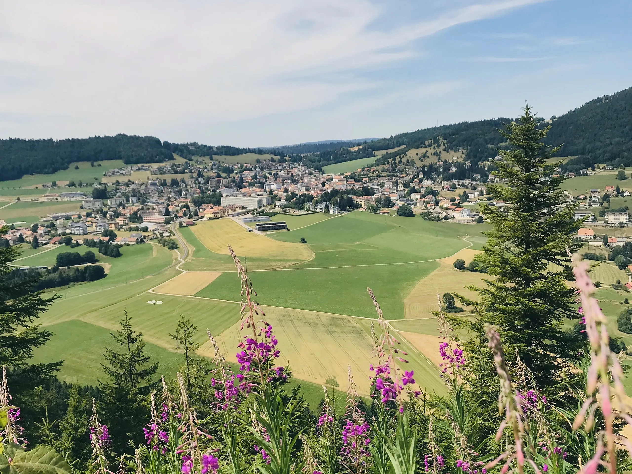
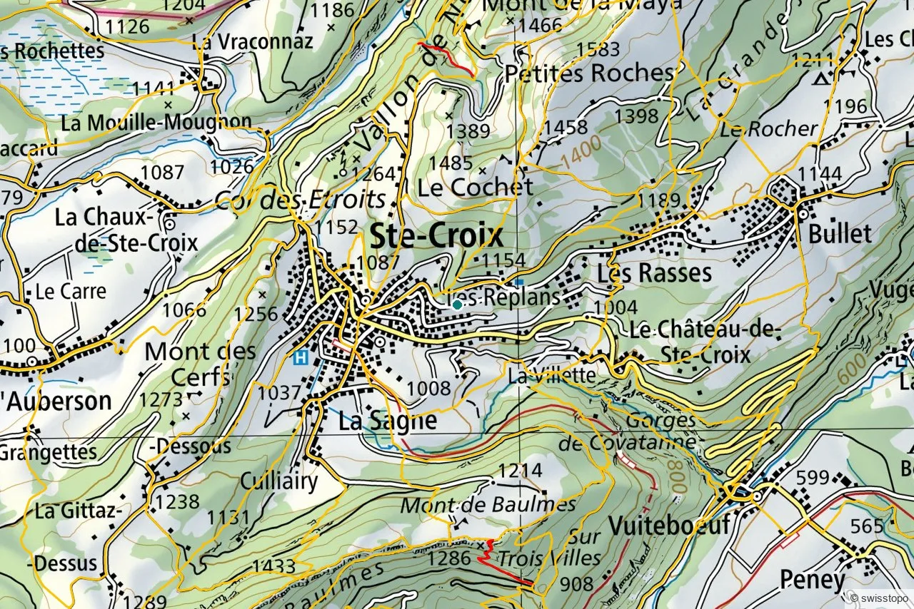
It is about 10 km and 3 hours, climbing through pasture to the Croix des Aiguilles and following the ridge crests that overlook the plain, with the Mont de Baulmes chalet along the way. The headline is the cliff-edge viewpoint, where the ground drops away and the whole Alpine chain, Mont Blanc included on a clear day, lines the southern horizon. The return drops back through forest. This is a mountain hike for experienced, sure-footed walkers: judged by its exposure rather than its length, so bring boots, water and a head for the edge.
The exact route and the official signposting are maintained by the regional tourism office (linked below); the marked trails are also shown on the swisstopo map above.
Getting there
The start at Sainte-Croix is easy to reach car-free: trains run up from Yverdon-les-Bains on the scenic mountain line, and the loop begins from the station. See getting here for trains to the region.
Good to know
- For experienced walkers. Exposed crest and cliff edges; not one for small children or vertigo.
- Combine it. The same railway serves Sainte-Croix and its music-box museum, an easy pairing with the walk.
- Source. Distance, route and access are from the regional tourism office: Yverdon-les-Bains Region. Map data © swisstopo.