Vedere e fare
Escursioni e passeggiate attorno a Yverdon
Il Giura si erge proprio dietro Yverdon, e la riva del lago corre piatta nell'altra direzione: le camminate sono eccezionali, dalle dolci passeggiate tra i vigneti alla vista su otto laghi dalla cima della Dent de Vaulion. Ecco gli itinerari di punta.
Escursione · da Sainte-Croix
Le Chasseron (1608 m) →
The highest peak in the Nord vaudois. A loop with panoramic views over the Alps, Lake Neuchâtel and Lake Geneva.
Escursione · da Sainte-Croix station
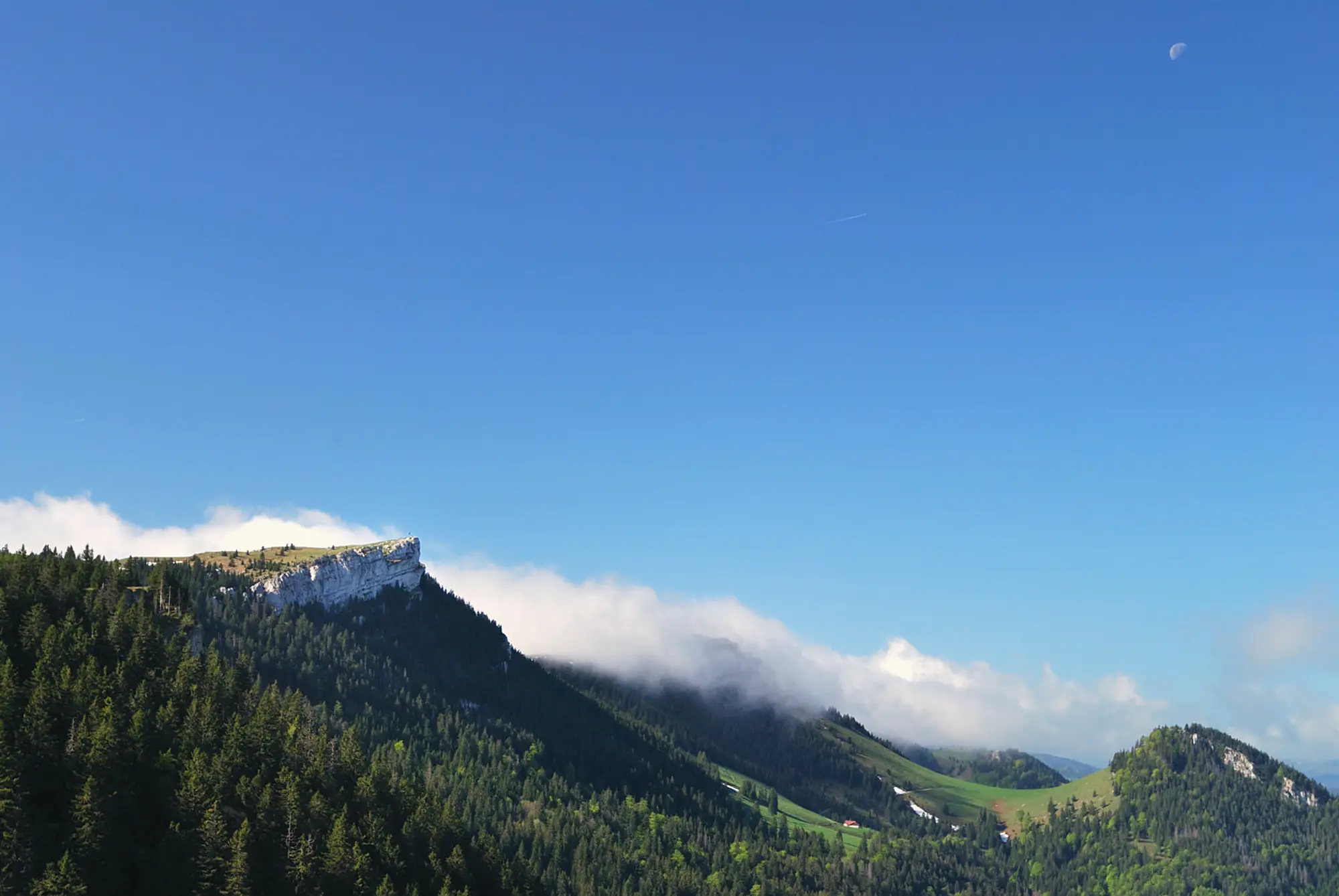
Aiguilles de Baulmes (1559 m) →
A sporty ridge loop with views to the Alps and Mont Blanc from near the Mont de Baulmes chalet.
Escursione · da Grange-Neuve chalet
La traversée du Suchet (1588 m) →
Up the western flank of the Suchet through alpine pastures, past two chalet-restaurants, with views from Lake Geneva to Lake Neuchâtel.
Escursione · da Vallorbe
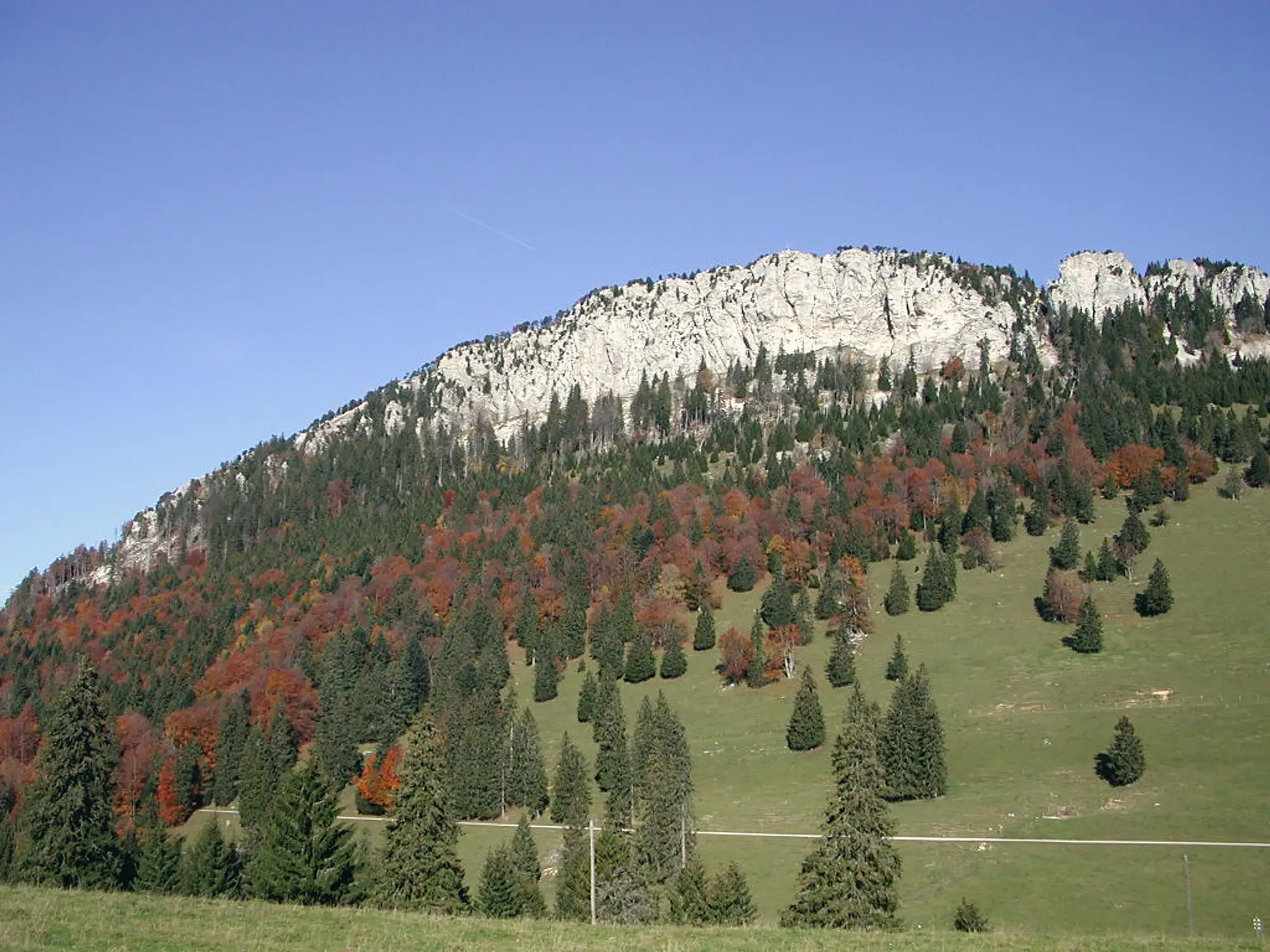
Mont d'Or (1461 m) →
A demanding round-trip through forest and pasture with wide summit views, returning past the Grottes de Vallorbe.
Escursione · da Vallorbe
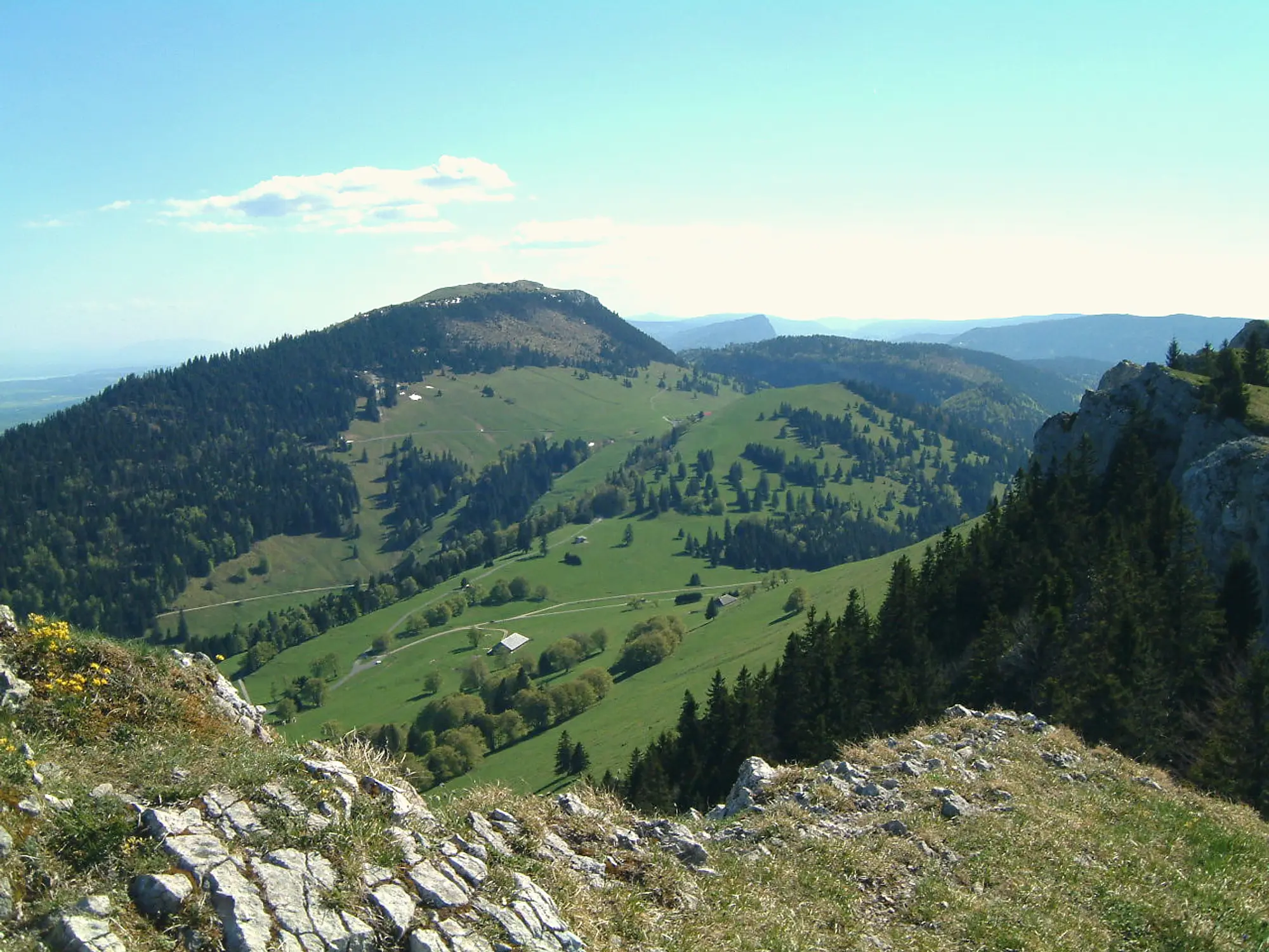
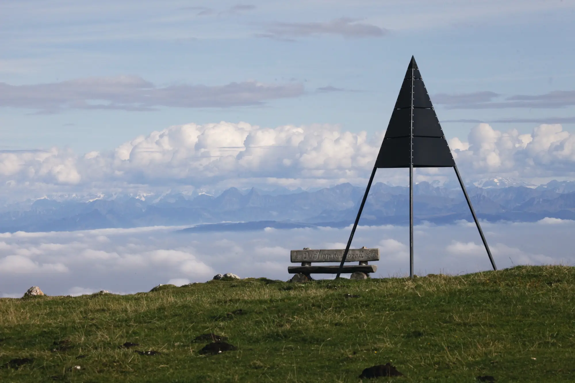
Dent de Vaulion (1482 m) →
A loop to a summit famous for its view of eight lakes; a refreshment bar runs May to October.
Escursione · da Restaurant des Rochat
Tour du Mont Aubert →
A long loop with broad views of the Jura and the Alps; a shorter 3.5 km option starts from the Gélinottes restaurant.
Escursione · da Sainte-Croix
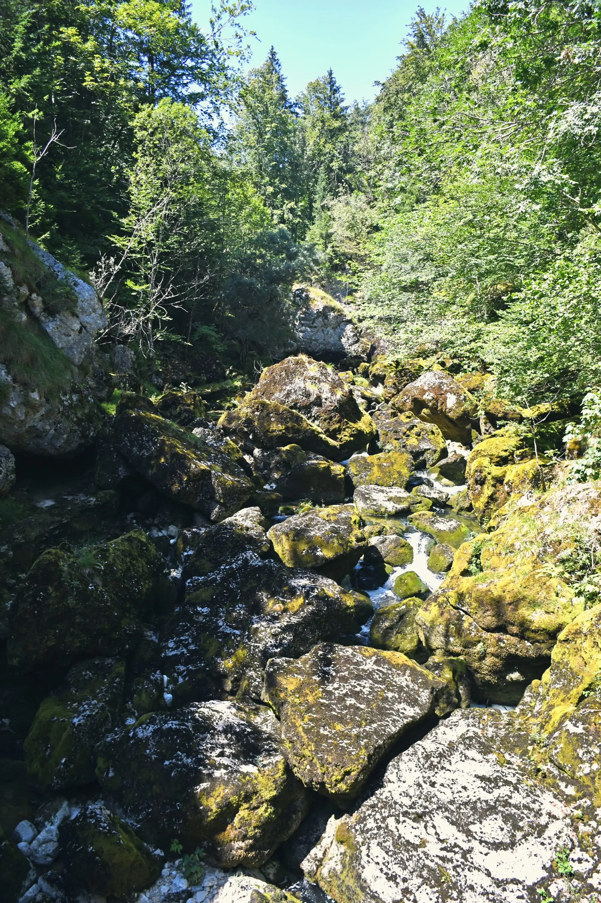
Gorges de Covatannaz →
⚠️ Closed 20 Apr – 26 Jun 2026 (engineering works). A short, dramatic walk alongside the Arnon river through the gorge, with a panoramic train back to Sainte-Croix, Baulmes or Yverdon.
Escursione · da Vallorbe ↔ Orbe
The Gorge of Orbe →
A scenic trail through a protected reserve: forest, the Saut du Day waterfall, and wildlife including beavers and kingfishers.
Escursione · da Les Rochats restaurant
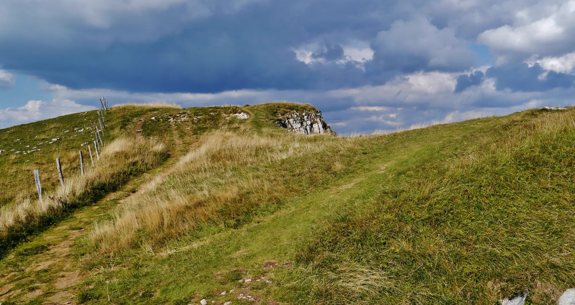
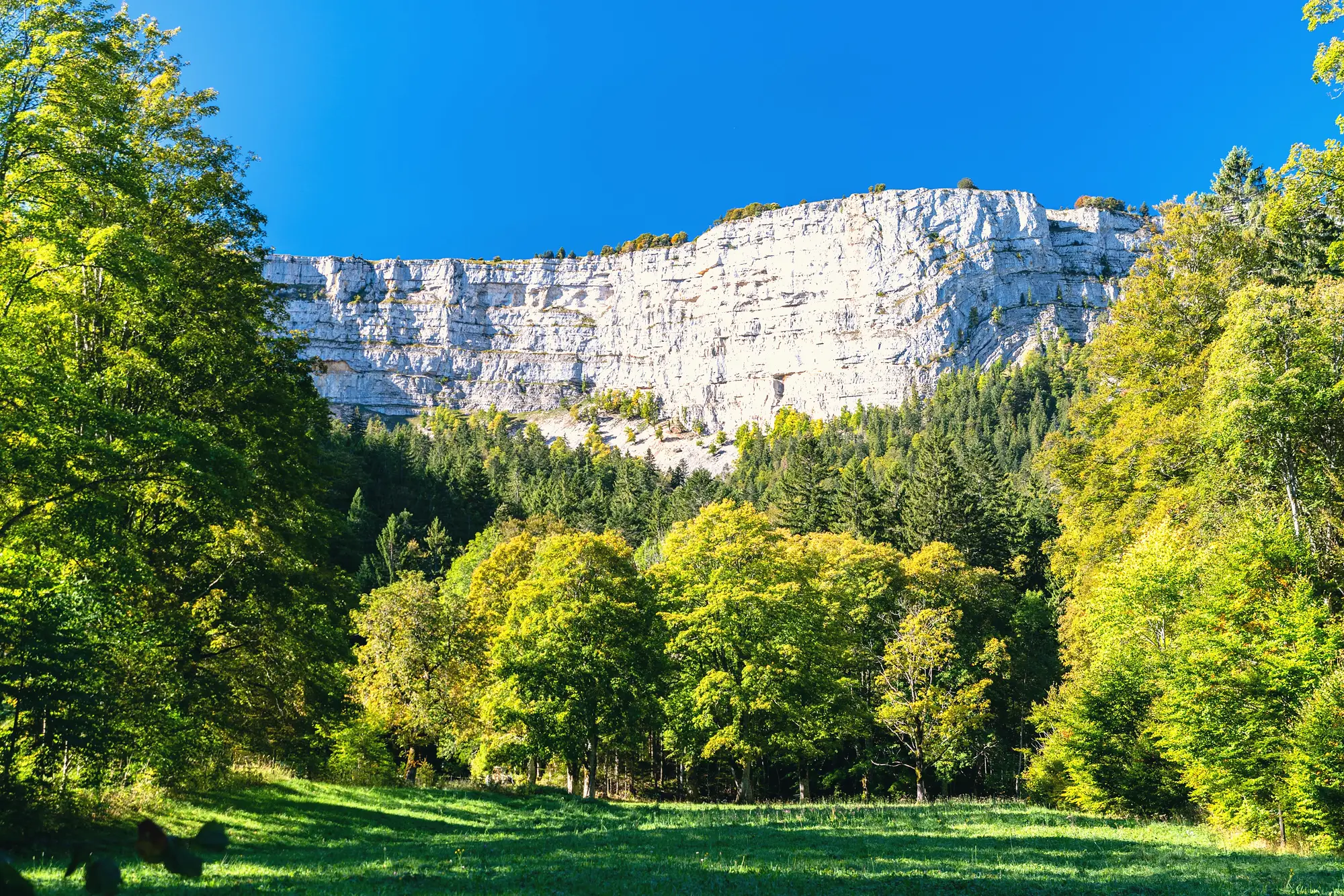
Creux du Van →
The region's iconic natural rock amphitheatre on the Vaud–Neuchâtel border; shorter approaches are possible from nearer car parks.
Escursione · da Yvonand
The Vaux Valley →
A shaded walk through the Vallon des Vaux, a genuine little canyon, passing the St-Martin tower.
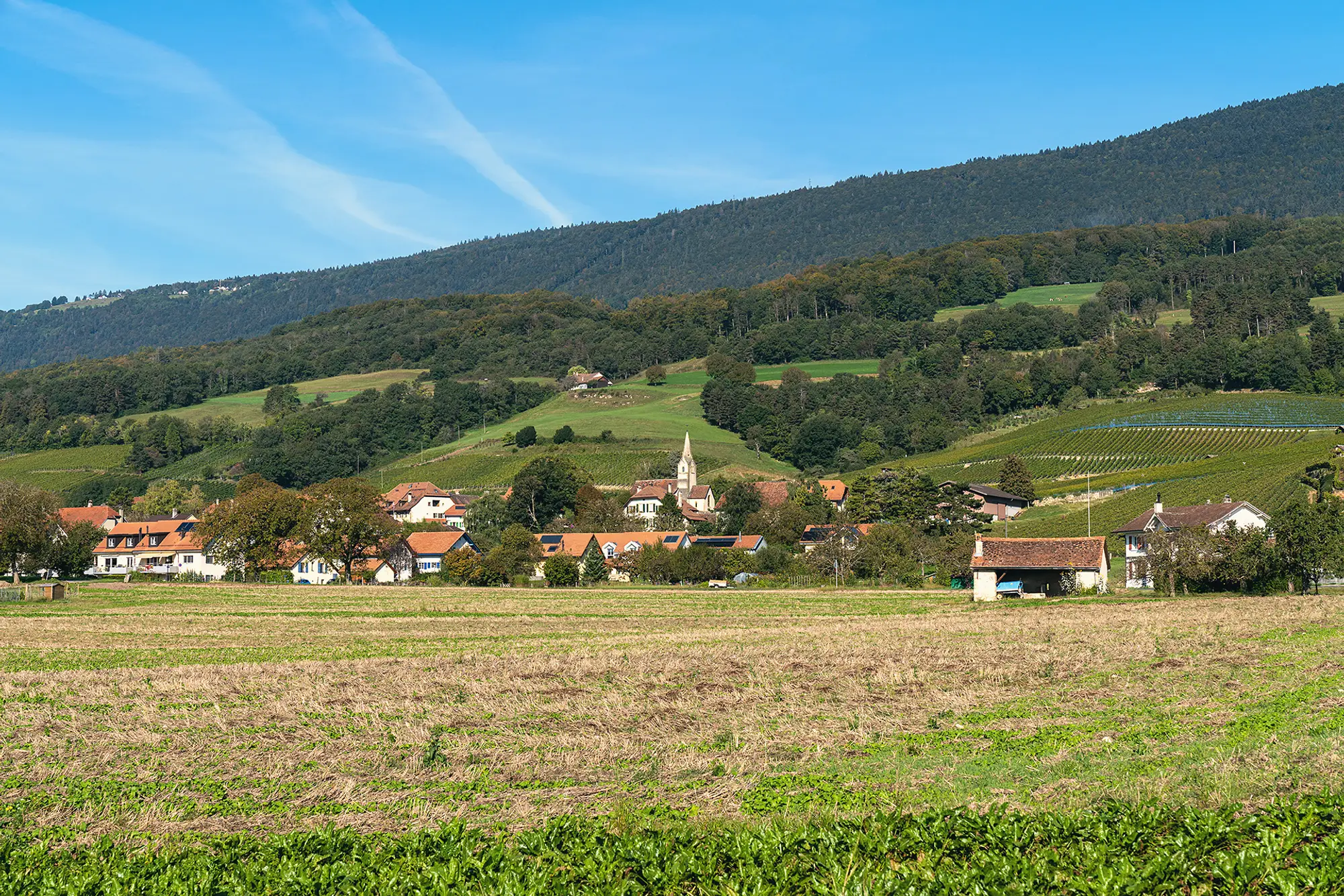
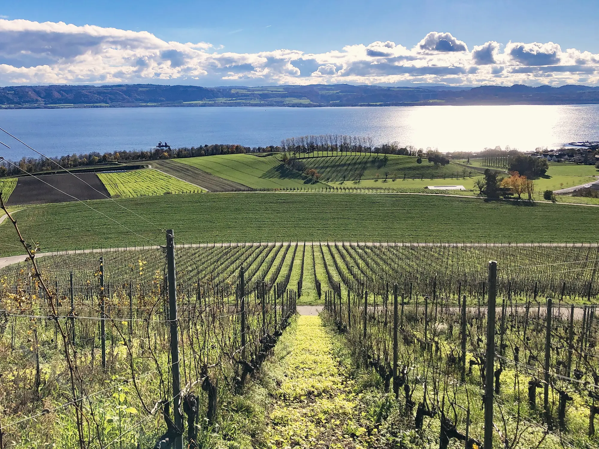
Passeggiata · da Bonvillars
Vineyard walk in Bonvillars →
An easy walk through the Bonvillars AOC vineyards and wine villages of Champagne, Onnens, Corcelles and Concise.
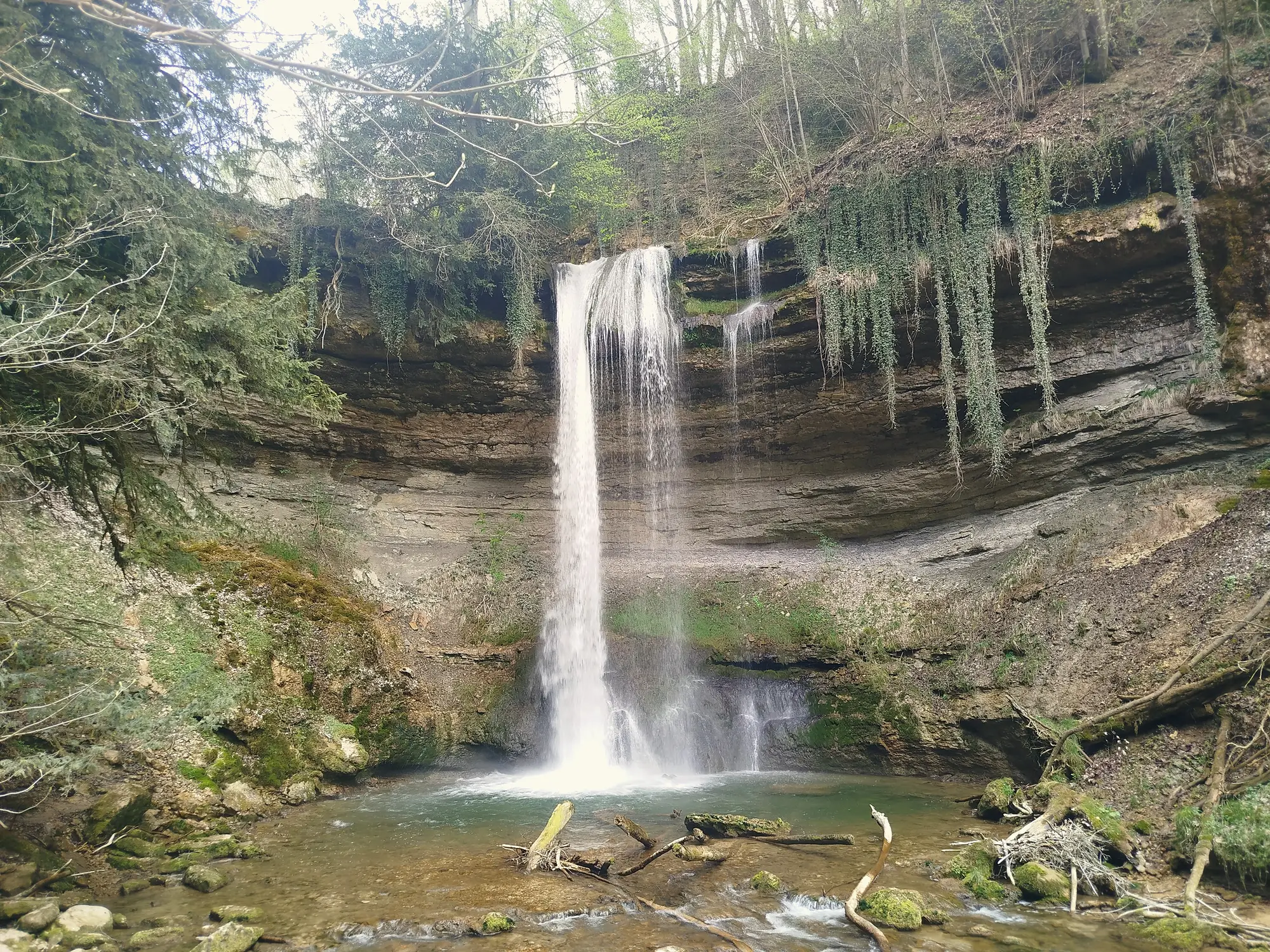
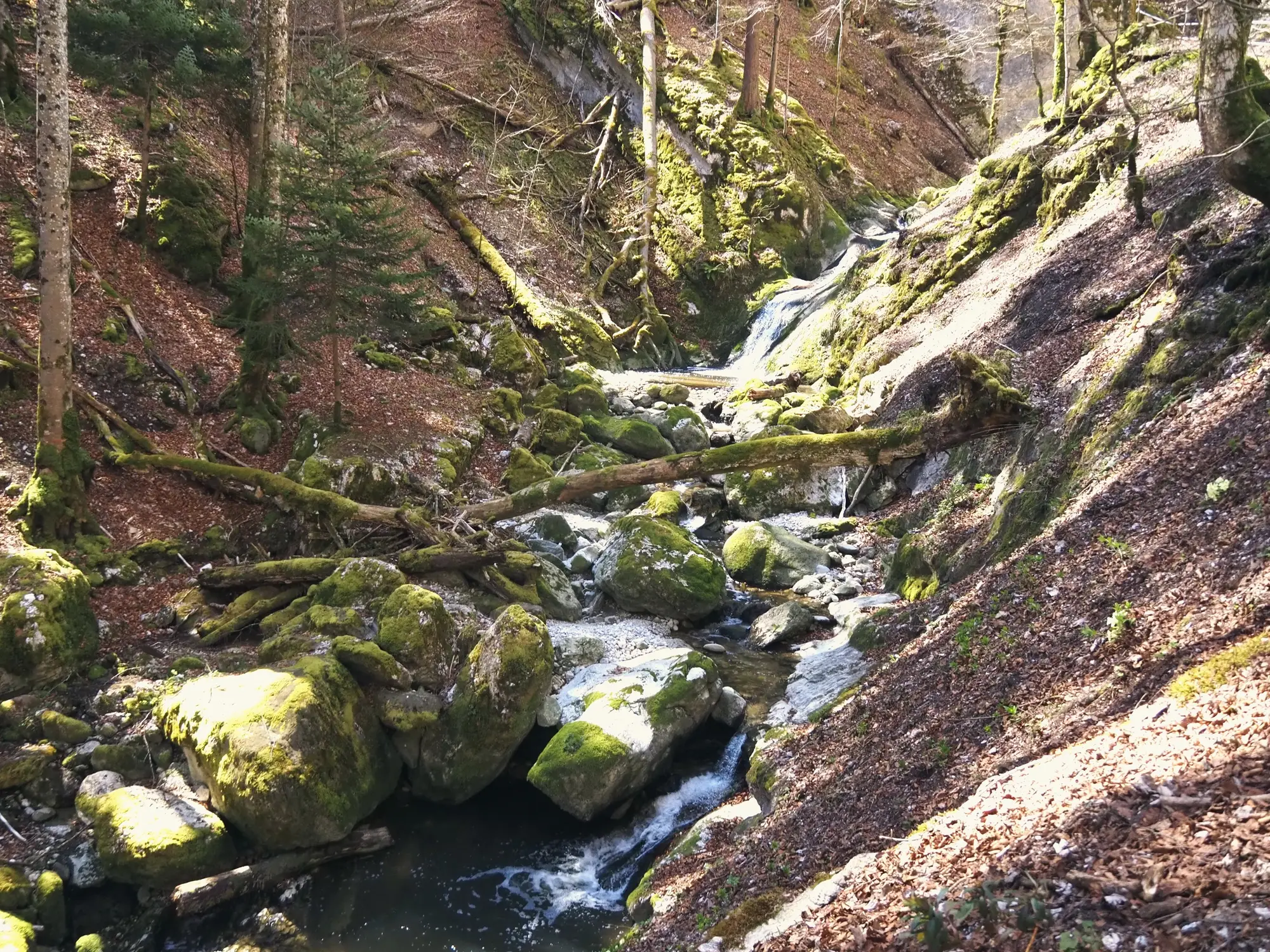
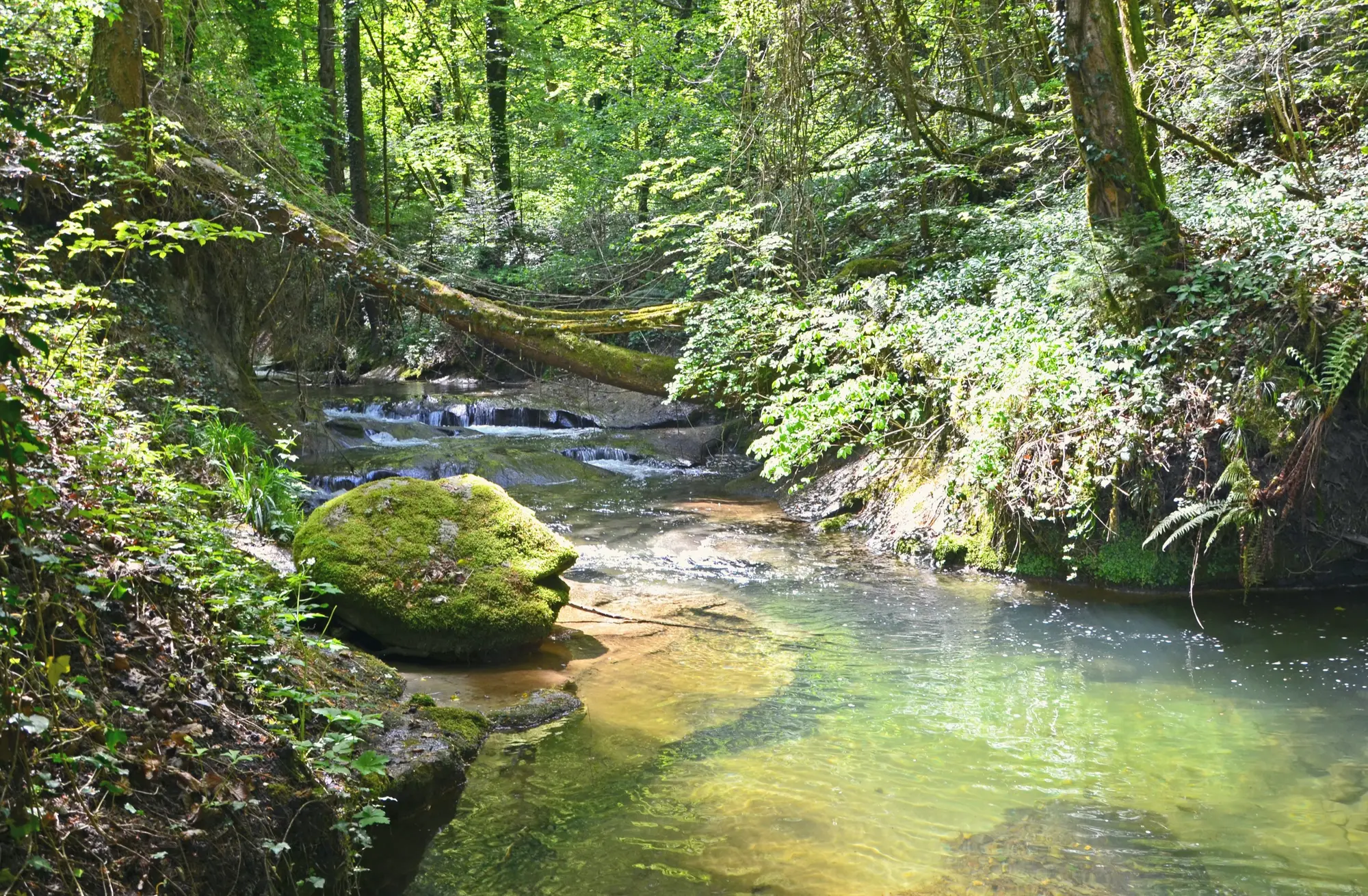
Passeggiata · da Romainmôtier
Cascade du Dard, Romainmôtier →
A short walk from the abbey town up the Nozon gorge to the Cascade du Dard, on the signed Sentier du Patrimoine heritage trail (SwitzerlandMobility route 124). The gorge path is steep in places.
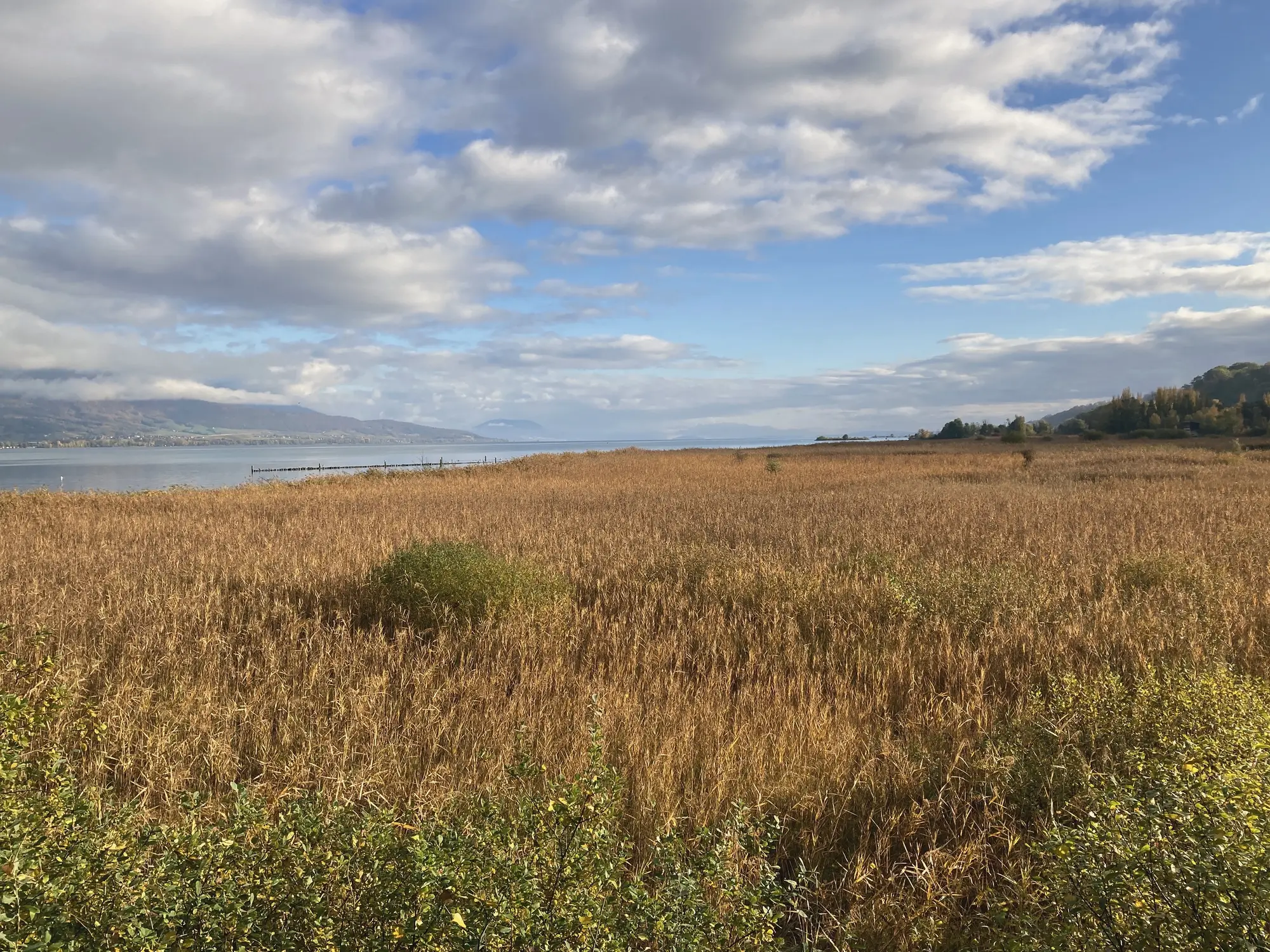
Passeggiata · da Yverdon-les-Bains
Three Lakes Trail: Yverdon → Murten →
The national Three Lakes Trail (SwitzerlandMobility route 71): 61 km from Yverdon to Murten in three flat stages, the first following the shore through the Grande Cariçaie reeds and beaches to Estavayer-le-Lac. Walk one stage at a time.
Passeggiata · da Grandson
On the trail of Charles the Bold →
An easy walk from Grandson castle to the 1476 battlefield at Concise, through vineyards, villages and the Chassagne nature reserve, with views over Lake Neuchâtel.
Nessuna escursione corrisponde. Provate un nome di località, un tipo di passeggiata, o svuotate il campo.